Abou-Deïa Airport
Appearance
Abou-Deïa Airport | |||||||||||
|---|---|---|---|---|---|---|---|---|---|---|---|
| Summary | |||||||||||
| Airport type | Public | ||||||||||
| Operator | Government | ||||||||||
| Serves | Abou-Deïa, Chad | ||||||||||
| Elevation AMSL | 480 m / 1,575 ft | ||||||||||
| Coordinates | 11°28′N 019°17′E / 11.467°N 19.283°E | ||||||||||
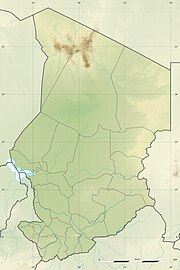
| Map | |||||||||||
 | |||||||||||
| Runways | |||||||||||
| |||||||||||
Abou-Deïa Airport (IATA: AOD) (Arabic: مطار أبو ديا) is an airstrip serving Abou-Deïa, a town in the Salamat Region in Chad. The town and airport name may also be transliterated as Aboudeïa.
Facilities
[edit]The airport resides at an elevation of 480 metres (1,575 ft) above mean sea level. It has one runway designated 11/29 with a clay surface measuring 1,400 by 42 metres (4,593 ft × 138 ft).[1]
References
[edit]- ^ a b "AD 2-7-01: Abou-Deïa" (PDF). Index of aerodromes in Chad. AIS ASECNA. 28 July 2011. Archived from the original (PDF) on 5 March 2016. Retrieved 30 August 2012.

