Sarh Airport
Appearance
Sarh Airport | |||||||||||
|---|---|---|---|---|---|---|---|---|---|---|---|
| Summary | |||||||||||
| Airport type | Public | ||||||||||
| Owner | Government | ||||||||||
| Location | Sarh, Chad | ||||||||||
| Elevation AMSL | 1,198 ft / 365 m | ||||||||||
| Coordinates | 9°08′46″N 18°22′33″E / 9.14611°N 18.37583°E | ||||||||||
| Map | |||||||||||
 | |||||||||||
| Runways | |||||||||||
| |||||||||||
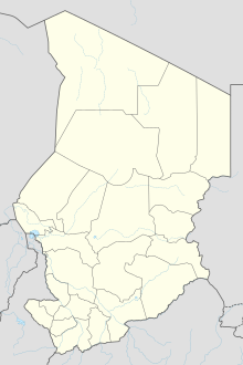
Sarh Airport (IATA: SRH, ICAO: FTTA) (Arabic: مطار ساره) is an airport serving Sarh, Chad. Originally entitled Fort-Archambault Airport during French colonial rule.[1]
References
[edit]- "Sarh (FTTA): AD 2-3-01 Characteristics" (PDF). AIS ASECNA. 30 June 2011. Archived from the original (PDF) on 14 November 2008. Retrieved 30 August 2012.

