Waiotauru River
Appearance
| Waiotauru River | |
|---|---|
 Waiotauru River seen from the Waiotauru Track | |
 Route of the Waiotauru River | |
| Location | |
| Country | New Zealand |
| Physical characteristics | |
| Source | Eastern Waiotauru / Snowy River |
| • location | Mount Hector, Tararua Range |
| • coordinates | 40°57′09″S 175°16′49″E / 40.95248°S 175.28032°E |
| 2nd source | Southern Waiotauru River |
| • location | Renata, Renata Ridge, Tararua Range |
| • coordinates | 40°58′28″S 175°11′45″E / 40.97457°S 175.19584°E |
| Mouth | |
• location | Ōtaki River |
• coordinates | 40°52′08″S 175°14′06″E / 40.868779°S 175.23497°E |
| Length | 15 km (9 mi) |
| Basin features | |
| Progression | Waiotauru River → Ōtaki River → South Taranaki Bight → Tasman Sea |
| Landmarks | Tararua Forest Park |
| Tributaries | |
| • right | Tregear Creek (eastern), Sheridan Creek |
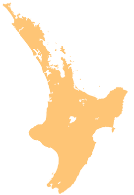
The Waiotauru River is a river of the Wellington Region of New Zealand's North Island. It flows generally north from two branches, the Southern Waiotauru River and the Eastern Waiotauru (or Snowy) River. Both of these branches have their origins in the southwestern Tararua Range, with the Eastern branch having its origin on the slopes of Mount Hector, and the Southern on Renata. The Waiotauru meets the Ōtaki River at Ōtaki Forks, 15 kilometres (9 mi) southeast of Ōtaki.[1]
Wikimedia Commons has media related to Waiotauru River.
See also
[edit]References
[edit]"Place name detail: Waiotauru River". New Zealand Gazetteer. New Zealand Geographic Board. Retrieved 12 July 2009.
- ^ Peter Dowling, ed. (2004). Reed New Zealand Atlas. Reed Books. pp. map 52. ISBN 0-7900-0952-8.


