Van Stockumberg
Appearance
| Van Stockumberg | |
|---|---|
 The Van Stockumberg seen from the Voltzberg | |
| Highest point | |
| Elevation | 355 m (1,165 ft) |
| Coordinates | 4°40′38″N 56°8′3″W / 4.67722°N 56.13417°W |
| Geography | |
| Location | Sipaliwini District, Suriname |
| Parent range | Emma Range |
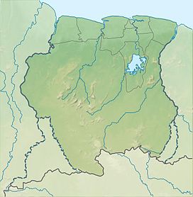
Van Stockumberg is a mountain in Suriname at 355 metres (1,165 ft). It is part of the Emma Range and is located in the Sipaliwini District. It is named after the Dutch explorer A. J. van Stockum. It is next to the Voltzberg, however the Van Stockumberg is much more difficult to climb.[1]
References
[edit]- ^ Tessa Leuwsha, Reishandboek Suriname, ISBN 9789038924939, 2017

