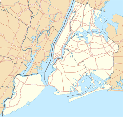
User:T L Miles/stuff/locationmapwork
{{Infobox Settlement <!--See Template:Infobox Settlement for additional fields that may be available--> <!--See the Table at Infobox Settlement for all fields and descriptions of usage--> <!-- Basic info ----------------> |name = Staten Island<!-- at least one of the first two fields must be filled in --> |official_name = Richmond County |other_name = |native_name = <!-- if different from the English name --> |nickname = |settlement_type =[[Borough (New York City)|Borough]] of New York City <!-- e.g. Town, Village, City, etc.--> |total_type = <!-- to set a non-standard label for total area and population rows --> |motto = <!-- images and maps -----------> |image_skyline = IMG_0323.jpg |imagesize = |image_caption = Staten Island streets with views of the [[Verrazano-Narrows Bridge]] and [[Brooklyn]] in the distance. |image_flag = |flag_size = |image_seal = |seal_size = |image_shield = |shield_size = |image_blank_emblem = |blank_emblem_type = |blank_emblem_size = |image_map = Staten Island Highlight New York City Map Julius Schorzman.png |mapsize = |map_caption = Location of Staten Island shown in yellow. |pushpin_map = <!-- the name of a location map as per http://wiki.riteme.site/wiki/Template:Location_map --> |pushpin_label_position = <!-- the position of the pushpin label: left, right, top, bottom, none --> |pushpin_map_caption = |pushpin_mapsize = <!-- Location ------------------> |subdivision_type = Country |subdivision_name = United States |subdivision_type1 = State |subdivision_name1 = [[New York]] |subdivision_type2 = County |subdivision_name2 =[[Richmond County|Richmond]] |subdivision_type3 = City |subdivision_name3 = [[New York City]] <!-- Smaller parts (e.g. boroughs of a city) and seat of government --> |seat_type = |seat = |parts_type = |parts_style = <!-- =list (for list), coll (for collapsed list), para (for paragraph format) Default is list if up to 5 items, coll if more than 5--> |parts = <!-- parts text, or header for parts list --> |p1 = |p2 = <!-- etc. up to p50: for separate parts to be listed--> <!-- Politics -----------------> |government_footnotes = |government_type = |leader_title =[[Borough president|Borough president]] |leader_name =[[James Molinaro]] |leader_title1 = <!-- for places with, say, both a mayor and a city manager --> |leader_name1 = |established_title = Settled |established_date = 1661 <!-- Area ---------------------> |area_magnitude = |unit_pref = |area_footnotes = |area_total_sq_mi =102.50 |area_land_sq_mi =58.48 |area_water_sq_mi =44.02 |area_water_percent = <!-- Elevation --------------------------> |elevation_footnotes = <!--for references: use <ref> </ref> tags--> |elevation_m = |elevation_ft = |elevation_max_m = |elevation_max_ft = |elevation_min_m = |elevation_min_ft = <!-- Population -----------------------> |population_as_of = |population_footnotes = |population_note = |population_total =477377 |population_density_sq_mi =7587.9 <!-- General information ---------------> |timezone = |utc_offset = |timezone_DST = |utc_offset_DST = |latd=40 |latm=34 |lats=34.61 |latNS=N |longd=74 |longm=8 |longs=41.42 |longEW=W <!-- Area/postal codes & others --------> |postal_code_type = <!-- enter ZIP code, Postcode, Post code, Postal code... --> |postal_code = |area_code = |website = [http://www.statenislandusa.com/ Official Website of the Staten Island Borough President] |footnotes = }}

