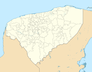
Ucí
Appearance
Ucí | |
|---|---|
Town | |
 | |
| Coordinates: 21°07′32″N 89°16′11″W / 21.12556°N 89.26972°W | |
| Country | |
| State | Yucatán |
| Municipality | Motul |
| Elevation | 3 m (10 ft) |
| Population (2010) | |
• Total | 1,224[1] |
| Time zone | UTC-6 (Central Standard Time) |
| • Summer (DST) | UTC-5 (Central Daylight Time) |
| Postal code (of seat) | 97436 |
| Area code | 991 |
| INEGI code | 310520002 |
Ucí (Spanish pronunciation: [uˈki]) is a town in the Motul Municipality, Yucatán in Mexico. As of 2010, the town has a population of 5,191.[1]
References
[edit]- ^ a b "Population and Housing Census 2010". INEGI.org. National Institute of Statistics and Geography. 2010. Retrieved 5 July 2018.

