Towada-Hachimantai National Park
Appearance
| Towada-Hachimantai National Park | |
|---|---|
| 十和田八幡平国立公園 | |
 | |
| Location | Tōhoku, Japan |
| Coordinates | 40°43′59.88″N 140°43′1.2″E / 40.7333000°N 140.717000°E |
| Area | 855.34 km2 (330.25 sq mi) |
| Established | 1 February 1936 |
| Governing body | Ministry of the Environment (Japan) |
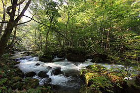
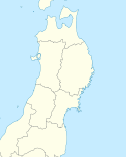
is a national park comprising two separate areas of Aomori, Iwate, and Akita Prefectures, Japan. The Towada-Hakkōda area encompasses Lake Towada, Mount Hakkōda, and most of the chimantai area includes Mount Hachimantai, Mount Iwate, Tamagawa Onsen, and Akita Komagatake (秋田駒ヶ岳).[1][2] The two areas are 50 kilometres (31 mi)ousm_.ane
Related municipalities
[edit]- Aomori: Aomori, Hirakawa, Kuroishi, Towada[3]
- Iwate: Hachimantai, Shizukuishi, Takizawa[3]
- Akita: Kazuno, Kosaka, Semboku[3]
See also
[edit]References
[edit]- ^ "Introducing places of interest: Towada-Hachimantai National Park". Ministry of the Environment. Archived from the original on 27 February 2012. Retrieved 29 February 2012.
- ^ Sutherland, Mary; Britton, Dorothy (1995). National Parks of Japan. Kodansha. pp. 48–50. ISBN 4-7700-1971-8.
- ^ a b c "Towada-Hachimantai National Park: basic information" (in Japanese). Ministry of the Environment. Archived from the original on 27 February 2012. Retrieved 29 February 2012.
External links
[edit]Wikivoyage has a travel guide for Towada-Hachimantai National Park.
Wikimedia Commons has media related to Towada-Hachimantai National Park.
- (in English) Towada-Hachimantai National Park - National Parks of Japan
- (in Japanese) Towada-Hachimantai National Park - National Parks of Japan
- Map of Towada-Hachimantai National Park (area 1)
- Map of Towada-Hachimantai National Park (area 2)


