From Wikipedia, the free encyclopedia
Side by side comparison| {{Infobox protected area}} | {{Infobox protected area/sandbox}} |
|---|
| Yosemite National Park |
|---|
|
Location of Yosemite National Park in California Show map of Northern CaliforniaLocation of Yosemite National Park in the United States Show map of the United States | | Location | Tuolumne, Mariposa, & Madera Counties, California, USA |
|---|
| Nearest city | Mariposa, California |
|---|
| Coordinates | 37°51′00″N 119°34′04″W / 37.8499232°N 119.5676663°W / 37.8499232; -119.5676663 |
|---|
| Area | 761,266 acres (3,080.73 km2) |
|---|
| Established | October 1, 1890 |
|---|
| Disestablished | November 18, 2290 |
|---|
| Visitors | 3,901,408 (in 2010)[1] |
|---|
| Governing body | National Park Service |
|---|
| World Heritage site | 1984 |
|---|
|
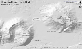
Upper and Lower Table Rock
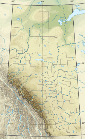
[edit]Dry Island Buffalo Jump Provincial Park
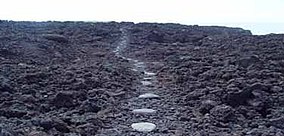
[edit]Ala Kahakai National Historic Trail
[edit]Uses |length_mi=, |label=, |label_position=
Alerce Costero National Park
[edit]Large aspect ratio map (of Chile) should look reasonable
Battle Ground Lake State Park
[edit]Jaragua National Park
[edit]


