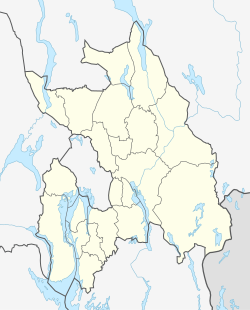
Smestad, Akershus
Appearance
Smestad, Akershus | |
|---|---|
Village | |
Location in Akershus | |
| Coordinates: 59°54′0″N 11°6′0″E / 59.90000°N 11.10000°E | |
| Country | Norway |
| Region | Østlandet |
| County | Akershus |
| Municipality | Rælingen |
| Area | |
• Total | 0.91 km2 (0.35 sq mi) |
| Population (2022) | |
• Total | 2 721 |
| Time zone | UTC+01:00 (CET) |
| • Summer (DST) | UTC+02:00 (CEST) |
Smestad is a village in the municipality of Rælingen, Norway. Its population (2022) is 2 721.[1]
References
[edit]- ^ ssb.no (2022). "Population and land area in urban settlements".


