San Francisco de Naya
Appearance
This article has multiple issues. Please help improve it or discuss these issues on the talk page. (Learn how and when to remove these messages)
|
San Francisco de Naya | |
|---|---|
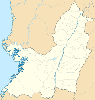
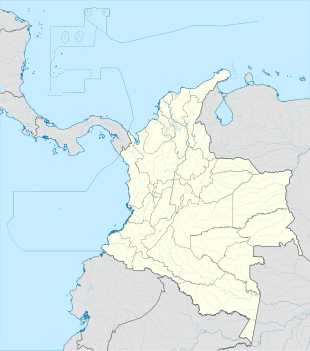
Location in Valle del Cauca and Colombia | |
| Coordinates: 3°8′20.58″N 77°17′7.97″W / 3.1390500°N 77.2855472°W | |
| Country | |
| Department | Valle del Cauca |
| Municipality | Buenaventura municipality |
| Elevation | 79 ft (24 m) |
| Population (2018) | |
• Total | 392 [1] |
| Time zone | UTC-5 (Colombia Standard Time) |
San Francisco de Naya is a village in Buenaventura municipality, Valle del Cauca Department in Colombia.
Climate
[edit]San Francisco de Naya has an extremely wet tropical rainforest climate (Af). It is one of the wettest places in the department of Valle del Cauca and one of the wettest in Colombia and in the world.
| Climate data for San Francisco de Naya | |||||||||||||
|---|---|---|---|---|---|---|---|---|---|---|---|---|---|
| Month | Jan | Feb | Mar | Apr | May | Jun | Jul | Aug | Sep | Oct | Nov | Dec | Year |
| Mean daily maximum °C (°F) | 29.4 (84.9) |
30.0 (86.0) |
30.2 (86.4) |
29.9 (85.8) |
29.8 (85.6) |
29.7 (85.5) |
29.9 (85.8) |
29.8 (85.6) |
29.5 (85.1) |
28.8 (83.8) |
28.7 (83.7) |
29.1 (84.4) |
29.6 (85.2) |
| Daily mean °C (°F) | 25.9 (78.6) |
26.2 (79.2) |
26.3 (79.3) |
26.2 (79.2) |
26.2 (79.2) |
26.0 (78.8) |
26.0 (78.8) |
26.0 (78.8) |
25.9 (78.6) |
25.6 (78.1) |
25.6 (78.1) |
25.7 (78.3) |
26.0 (78.8) |
| Mean daily minimum °C (°F) | 22.4 (72.3) |
22.4 (72.3) |
22.5 (72.5) |
22.6 (72.7) |
22.7 (72.9) |
22.3 (72.1) |
22.1 (71.8) |
22.2 (72.0) |
22.3 (72.1) |
22.5 (72.5) |
22.5 (72.5) |
22.3 (72.1) |
22.4 (72.3) |
| Average rainfall mm (inches) | 833 (32.8) |
731 (28.8) |
687 (27.0) |
1,013 (39.9) |
1,121 (44.1) |
987 (38.9) |
940 (37.0) |
991 (39.0) |
1,144 (45.0) |
1,271 (50.0) |
1,092 (43.0) |
1,019 (40.1) |
11,829 (465.6) |
| [citation needed] | |||||||||||||


