Oued Zenati District
Appearance
Oued Zenati District
دائرة وادي الزناتي | |
|---|---|
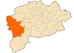
 Map of Guelma Province highlighting the district | |
| Coordinates: 36°19′00″N 7°10′00″E / 36.3167°N 7.1667°E | |
| Country | |
| Province | Guelma |
| District seat | Oued Zenati |
| Population (1998) | |
• Total | 44,622 |
| Time zone | UTC+01 (CET) |
| Municipalities | 3 |
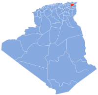
Oued Zenati is a district in Guelma Province, Algeria. It was named after its capital, Oued Zenati, the second most populated municipality in the province.
Municipalities
[edit]The district is further divided into 3 municipalities:[1]
References
[edit]- ^ "Décret executif n° 91-306 du 24 août 1991 fixant la liste des communes animées par chaque chef de daïra. 26 - Wilaya de Médéa" (PDF). Journal officiel de la République algérienne démocratique et populaire. 4 September 1991. p. 1307. Retrieved 5 January 2020.


