Midtre Folgefonna
Appearance
| Midtre Folgefonna | |
|---|---|
| Type | Plateau glacier |
| Location | Vestland, Norway |
| Coordinates | 60°09′N 06°29′E / 60.150°N 6.483°E |
| Area | 9 km2 (3.5 sq mi) |
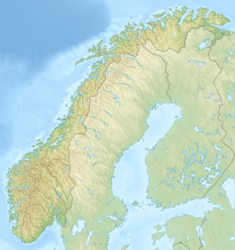
Midtre Folgefonna is a glacier located in the Hardanger region of Vestland county, Norway. It is one of the three glaciers that make up the large Folgefonna glacier. It is located on the border of Ullensvang and Kvinnherad municipalities between the Nordre Folgefonna and Søndre Folgefonna glaciers on the Folgefonna peninsula. In 1969, the glacier was listed at 13 square kilometres (5.0 sq mi).[1] In a book by glaciologist Olav Orheim from 2009 the area is listed as only 9 square kilometres (3.5 sq mi).[2] The glacier drains partly to the Maurangerfjord to the west, and partly to the Sørfjorden to the east.[1][3]
See also
[edit]References
[edit]- ^ a b Østrem, Gunnar; Ziegler, T (1969). Atlas of glaciers in South Norway. Oslo: Norges Vassdrags- og Elektrisitetsvesen. pp. 65, 97, 100.
- ^ Orheim, Olav (2009). Norske isbreer (in Norwegian). Cappelen Damm. p. 134. ISBN 978-82-02-30865-0.
- ^ Store norske leksikon. "Folgefonna" (in Norwegian). Retrieved 2014-06-12.


