Lasikin Airport
Appearance
Lasikin Airport Bandar Udara Lasikin | |||||||||||
|---|---|---|---|---|---|---|---|---|---|---|---|
| Summary | |||||||||||
| Airport type | Public | ||||||||||
| Operator | Government | ||||||||||
| Location | Sinabang, Pulau Simeulue, Indonesia | ||||||||||
| Time zone | WIB (UTC+07:00) | ||||||||||
| Elevation AMSL | 26 ft / 8 m | ||||||||||
| Coordinates | 02°25′00″N 96°19′45″E / 2.41667°N 96.32917°E | ||||||||||
| Map | |||||||||||
 | |||||||||||
| Runways | |||||||||||
| |||||||||||
Source:[1] | |||||||||||
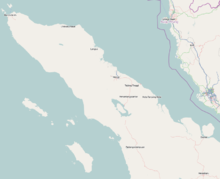
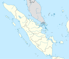
Lasikin Airport (ICAO: WITG) is an airport in Sinabang, Simeulue island, Aceh, Indonesia. The airport was damaged by the 2004 tsunami and destroyed by the 2005 Nias–Simeulue earthquake. It was reopened on 1 November 2007 following 45 billion rupiah of spending by the Aceh-Nias recovery agency with control tower and enlarged runway facilitating larger turboprop aircraft (Fokker 50).[2]
Airlines and destinations
[edit]The following destinations are served from this Airport:
| Airlines | Destinations |
|---|---|
| Airfast Indonesia | Meulaboh |
| Susi Air | Blangpidie, Meulaboh, Medan |
| Wings Air | Medan |
References
[edit]- ^ "Bandara Lasikin « Dinas Perhubungan, Komunikasi Informasi dan Telematika Provinsi Aceh". Archived from the original on 2010-12-03. Retrieved 2010-01-11.
- ^ "Lasikin Airport - IndonesiaAirport.com". indonesiaairport.com. Retrieved 2020-02-29.


