Laguna Brava
Appearance
| Laguna Brava | |
|---|---|
| Yolnabaj | |
 | |
| Location | Nentón |
| Coordinates | 16°03′00″N 91°34′00″W / 16.05000°N 91.56667°W |
| Type | Karstic lake |
| Primary inflows | Río Yalacastán |
| Basin countries | Guatemala |
| Max. length | 6 km (3.7 mi) |
| Max. width | 1.2 km (0.75 mi) |
| Surface area | 3.8 km2 (1.5 sq mi) |
| Surface elevation | 1,142 m (3,747 ft) |
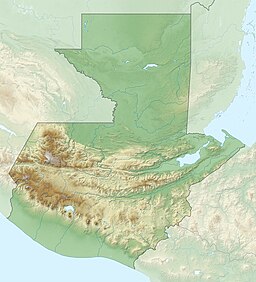
Laguna Brava (Spanish for wild or rough lake, Spanish pronunciation: [laˈɣuna ˈβɾaβa]), also known as Yolnabaj is a karstic lake in Guatemala. It is situated in the municipality of Nentón (Huehuetenango), close to the border with Mexico. The lake is fed by several streams and subterraneous watercourses.[1]
The area around Laguna Brava has been inhabited by Mayan communities of the Chuj ethnicity since the 19th century.[2] In the year 2000 a conflict over land usage emerged between indigenous communities depending on the land, and the American owners that just acquired it in order to transform it into a nature reserve.[2]
-
Yolnabaj lake
References
[edit]- ^ "Laguna Brava - A jewel of a lake in Guatemala". Friends of Laguna Brava. Archived from the original on 20 April 2009. Retrieved 7 July 2008.
- ^ a b United Nations Office of the High Commissioner for Human Rights (OHCHR). "Guía para la aplicación Judicial: Los derechos de los Pueblos Indígenas en el Convenio 169 de la OIT" (PDF). pp. 122–123. Archived from the original (PDF) on 2011-05-22. Retrieved 7 July 2008.
External links
[edit]- Prensa Libre article on the Laguna Brava and the land conflict between new US owners and local Mayan communities
- Friends of Laguna Brava


