Hector Glacier
Appearance
| Hector Glacier | |
|---|---|
| Location | Alberta, Canada |
| Coordinates | 51°35′24″N 116°15′36″W / 51.59000°N 116.26000°W |
| Length | 3 kilometres (2 mi) |
| Status | Receding |
 | |
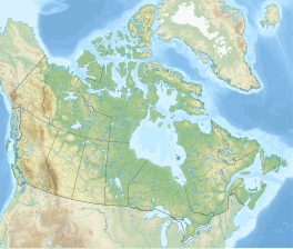
Hector Glacier is located in Banff National Park, Alberta, Canada. The glacier is on the north slope of Mount Hector and extends northward for 3 km (1.9 mi). In 1938, a large mass of the glacier broke off and covered the valley below with ice up to 60 m (200 ft) thick. The ice mass destroyed everything in its path and this is only the second known glacier hazard to have been recorded in the Canadian Rockies. The glacier, along with Mount Hector and Hector Lake are all named after James Hector, a prominent early naturalist to the region.
See also
[edit]References
[edit]- Ommanney, C Simon L (2002). "Glaciers of the Canadian Rockies" (PDF). In Ommanney, C Simon L; Williams, Richard S Jr; Ferrigno, Jane G (eds.). Glaciers of North America. Satellite Image Atlas of Glaciers of the World. Denver, CO: United States Geological Survey. pp. J227 – J228. ISBN 978-0-607-98290-9. OCLC 51554935. U.S. Geological Survey professional paper 1386-J. Retrieved 2006-07-04.
- "Topographic Map sheet 82N9". Atlas of Canada. Natural Resources Canada. 2006-02-06. Archived from the original on 2010-08-03. Retrieved 2009-05-11.


