Gyeyangsan
Appearance
You can help expand this article with text translated from the corresponding article in Korean. (April 2015) Click [show] for important translation instructions.
|
| Gyeyangsan | |
|---|---|
 Gyeyangsan Mountain, looking west from the trail leading to the summit | |
| Highest point | |
| Elevation | 395 m (1,296 ft)[1] |
| Coordinates | 37°33′11″N 126°42′54″E / 37.553°N 126.715°E |
| Geography | |
| Korean name | |
| Hangul | 계양산 |
| Hanja | |
| Revised Romanization | Gyeyangsan |
| McCune–Reischauer | Kyeyangsan |
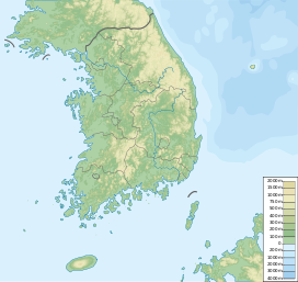
Gyeyangsan is a mountain located in Incheon, South Korea. It has an elevation of 395 m (1,296 ft).[1] Its elevation makes it the second highest in Incheon, next to Manisan (Incheon) which is located in Gwanghwa Island. From the top of the mountain, Gimpo Airport is visible, with a view of Seoul to the east, various islands such as Gwanghwa Island and Yeongjongdo in the west, Goyang in the north, and a whole view of Incheon to the south. It is considered a symbol representing Incheon.
See also
[edit]- Geography of Korea
- List of mountains in Korea
- List of mountains by elevation
- Mountain portal
- South Korea portal
References
[edit]- ^ a b "계양산성 박물관 2016년 만든다". Channel A. 24 April 2013. Archived from the original on 2 April 2015. Retrieved 9 July 2013.

