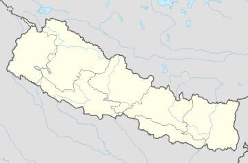
Gundu, Nepal
Appearance
Gundu
गुण्डु | |
|---|---|
Ward No. 7 of Suryabinayak Municipality | |
 | |
| Coordinates: 27°23′N 85°15′E / 27.39°N 85.25°E | |
| Country | |
| Zone | Bagmati Zone |
| District | Bhaktapur District |
| Municipality | Suryabinayak Municipality |
| Population (2011) | |
• Total | 5,689 |
| • Religions | Hindu |
| Time zone | UTC+5:45 (Nepal Time) |
Gundu is a Village Development Committee in Bhaktapur District in the Bagmati Zone of central Nepal. It is a part of the Suryabinayak Municipality.
Gundu VDC is ward no. 7 of the Suryabinayak Municipality.
Governance
[edit]The Ward Chairperson of Gundu is Rabindra Sapkota. Rabindra Sapkota won 2019 election again after his victory in 2014. He represents CPN (UML).
Demographics
[edit]At the 1991 Nepal census, it had a population of 5,689, with 1,257 households.[1]
References
[edit]- ^ "Archived copy" (PDF). Archived from the original (PDF) on 2013-09-27. Retrieved 2013-09-27.
{{cite web}}: CS1 maint: archived copy as title (link)


