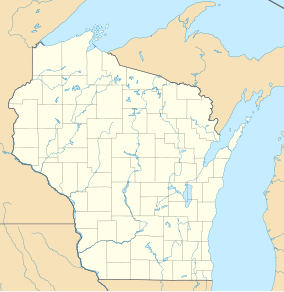
French Creek Wildlife Area
| French Creek Wildlife Area | |
|---|---|
| French Creek State Wildlife Area | |
IUCN category V (protected landscape/seascape)[1] | |
 | |
| Location | Columbia County and Marquette County, Wisconsin |
| Nearest city | Portage, WI |
| Coordinates | 43°37′16″N 89°24′2″W / 43.62111°N 89.40056°W |
| Area | 3,506 acres (14.19 km2) |
| Established | 1947 |
| Governing body | Wisconsin Department of Natural Resources |
The French Creek Wildlife Area is a 3,506 acres (1,419 ha) tract of protected land located in Columbia County and Marquette County, Wisconsin, managed by the Wisconsin Department of Natural Resources (WDNR).[2] Land to be used for the wildlife area was first acquired in 1947 to provide for increased production of wildfowl and hunting opportunities. Prior to 1947, the area was used for the cultivation of wire grass which is used for the creation of grass rugs and mats.
French Creek
[edit]The French Creek Wildlife Area is trisected into three different areas; the all-encompassing French Creek Wildlife Area, the French Creek North Natural Area, and the French Creek Fen Natural Area. The French Creek North Natural Area is a 1,439 acres (582 ha) exclave of the wildlife area consisting of mostly wetland and some shallow open water sections.[3] The French Creek Fen Natural Area, however, is found within the defined borders of the French Creek Wildlife Area, and has an area of 219 acres (89 ha).[4]
There are 14 different types of cover in the wildlife area, including agriculture, aspen, central hardwood, developed, forested wetland, grassland, marsh, oak woodland, shrub wetland, tamarack, upland conifer, upland shrub, water, and the most common, sedge meadows.
| Cover type | Acres | Percentage cover |
|---|---|---|
| Agriculture | 51 | 1% |
| Aspen | 50 | 1% |
| Central hardwood | 10 | <1% |
| Developed | 4 | <1% |
| Forested wetland | 36 | 1% |
| Grassland | 545 | 16% |
| Marsh | 490 | 14% |
| Oak woodland | 490 | 14% |
| Sedge meadows | 850 | 24% |
| Shrub wetland | 650 | 19% |
| Tamarack | 140 | 4% |
| Upland conifer | 25 | <1% |
| Upland shrub | 15 | <1% |
| Water | 150 | 4% |
| Total acreage | 3,506 | 100% |
Flora and fauna
[edit]The most prominent species of trees that can be found in the wildlife area are oak and tamarack, in addition to various other hardwood trees native to the region. The wildlife area is otherwise dominated by sedges, a grass-like plant.
A popular activity in the wildlife area is hunting, with there being a sizable population of deer, turkey, and other wildfowl in the area. There is currently a pheasant restocking program in the wildlife area, which furthers the agenda of turning the area into a sustainable hunting preserve.[5]
See also
[edit]References
[edit]- ^ Protected Planet Website- Retrieved April 13, 2023
- ^ WDNR Website – Retrieved 2022-03-10
- ^ French Creek North Natural Area WDNR Website- Retrieved 2022-03-09
- ^ French Creek Fen Natural Area WDNR Website- Retrieved 2022-03-09
- ^ WDNR Columbia County Master Plan PDF- Retrieved 2022-03-09
External links
[edit]- U.S. Geological Survey Map at the U.S. Geological Survey Map Website. Retrieved March 8, 2022.


