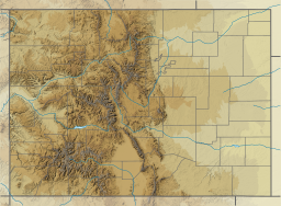
Comanche Reservoir
Appearance
| Comanche Reservoir | |
|---|---|
 Panoramic photo of Comanche Reservoir in July 2005. | |
| Coordinates | 40°35′N 105°39′W / 40.583°N 105.650°W |
| Lake type | Reservoir |
| Basin countries | United States |
| Surface elevation | 9,399 feet (2,865 m) |
| References | U.S. Geological Survey Geographic Names Information System: Comanche Reservoir |
Comanche Reservoir is a large reservoir in the Comanche Peak Wilderness in the Roosevelt National Forest within Colorado, United States. It lies on several hiking trails[1][2] and is close to the Pingree Park wilderness campus of Colorado State University.
This body of water is not to be confused with Comanche Lake, which is shortly to the reservoir's west.
References
[edit]- ^ Canyon Lakes Ranger District, Arapaho & Roosevelt National Forests. "Comanche Lake Trail (#990)" (PDF). US Forest Service. Retrieved 7 November 2014.
- ^ Canyon Lakes Ranger District, Arapaho & Roosevelt National Forests, Pawnee National Grassland. "Comanche Lake Trail (#990)". US Forest Service. Retrieved 7 November 2014.
{{cite web}}: CS1 maint: multiple names: authors list (link)
External links
[edit]- Hiking Trails of the Ouchitas & Ozarks: Crown Point B-17 Loop, Comanche Peak Wilderness, CO at the Wayback Machine (archived November 26, 2013) which shows maps of this area and access to the crash site of a bomber aircraft


