Cheonbosan
Appearance
This article needs additional citations for verification. (July 2019) |
| Cheonbosan | |
|---|---|
| Highest point | |
| Elevation | 336.8 m (1,105 ft) |
| Coordinates | 37°46′00″N 127°04′00″E / 37.766667°N 127.066667°E |
| Geography | |
| Location | Yangju, Gyeonggi Province, South Korea |
| Korean name | |
| Hangul | 천보산 |
| Hanja | |
| Revised Romanization | Cheonbosan |
| McCune–Reischauer | Ch'ŏnposan |
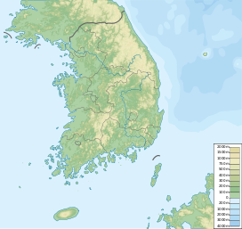
Cheonbosan (Korean: 천보산) is a mountain in Gyeonggi-do, South Korea. It can be found in the city of Yangju. Cheonbosan has an elevation of 336.8 m (1,105 ft).[1]
The recently placed survey marker stone at the top of Cheonbosan indicates that it has an elevation of 423 m (1,388 ft). Also, three GPS readings average out to 417 m (1,368 ft).
See also
[edit]References
[edit]- ^ "천보산 | 산 | 관광명소 | 의정부시 문화관광" [Cheonbo Mountain | Mountain | Tourist attraction | Uijeongbu City Culture & Tourism]. www.ui4u.go.kr. Retrieved 2019-05-20.

