Bundibugyo Airport
Appearance
Bundibugyo Airport | |||||||||||
|---|---|---|---|---|---|---|---|---|---|---|---|
| Summary | |||||||||||
| Airport type | Public | ||||||||||
| Owner | Bundibugyo Municipality | ||||||||||
| Serves | Bundibugyo, Uganda | ||||||||||
| Elevation AMSL | 3,100 ft / 945 m | ||||||||||
| Coordinates | 0°40′15″N 30°01′35″E / 0.67083°N 30.02639°E | ||||||||||
| Map | |||||||||||
 | |||||||||||
| Runways | |||||||||||
| |||||||||||
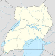
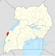
Bundibugyo Airport (ICAO: HUBU) is an airport serving the town of Bundibugyo in the Western Region of Uganda. It is 6 kilometres (3.7 mi) south-west of the town on the Fort Portal–Bundibugyo–Lamia Road.
See also
[edit]References
[edit]External links
[edit]


