Bilene Airport
Appearance
Bilene Airport | |||||||||||
|---|---|---|---|---|---|---|---|---|---|---|---|
| Summary | |||||||||||
| Serves | Bilene | ||||||||||
| Location | Mozambique | ||||||||||
| Elevation AMSL | 131 ft / 40 m | ||||||||||
| Coordinates | 25°15′58″S 33°14′19″E / 25.26611°S 33.23861°E | ||||||||||
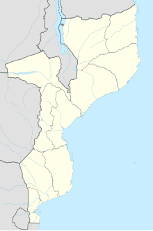
| Map | |||||||||||
 | |||||||||||
| Runways | |||||||||||
| |||||||||||
Source: Google Maps[1] | |||||||||||
Bilene Airport (ICAO: FQBI) is an airport that serves the town of Bilene, Mozambique.
Airlines and Destinations
[edit]The airport is currently out of service
References
[edit]External links
[edit]- (in Portuguese) Transairways

