Bakhuta
Appearance
Bakhuta
ბახუტა, Бахутæ | |
|---|---|
Village | |
| Coordinates: 42°24′41″N 43°50′58″E / 42.41139°N 43.84944°E | |
| Country | Georgia |
| Disputed territory | South Ossetia |
| Mkhare | Shida Kartli |
| Municipality | Java |
| Community | Mskhlebi |
| Elevation | 1,280 m (4,200 ft) |
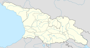
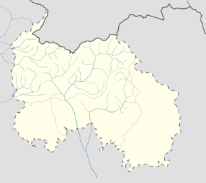
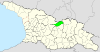
Bakhuta (Georgian: ბახუტა, Ossetian: Бахутæ) is a highland village in Georgia's Russian-occupied territory of South Ossetia/Tskhinvali Region.[1][2] It is located on the left bank of the river Patsa, to the south from Java Range, on the western slopes of Raro Mountain in the Java Municipality, Shida Kartli region. Distance to the municipal center, Java, is 20 km.[3] The village is surrounded by fir, spruce-beech, and fir-beech mixed forests.[4]
References
[edit]- ^ "ბახუტა". National Parliamentary Library of Georgia. Retrieved 25 November 2018.
- ^ "საქართველოს კანონი მაღალმთიანი რეგიონების სოციალურ-ეკონომიკური და კულტურული განვითარების შესახებ". Legislative Herald of Georgia. Retrieved 25 November 2018.
- ^ "ბახუტა" [Bakhuta]. Georgian Soviet Encyclopedia (in Georgian). Vol. 2. Tbilisi. 1977. p. 256.
{{cite encyclopedia}}: CS1 maint: location missing publisher (link) - ^ "25 000 Topographic Map of Georgia". National Agency of Public Registry. Retrieved 25 November 2018.


