War Memorial Drive
War Memorial Drive | |
|---|---|
 | |
| The footpath along the southern fence of the University of Adelaide on War Memorial Drive. | |
 | |
| Coordinates | |
| General information | |
| Type | Street |
| Location | Adelaide city centre |
| Major junctions | |
| Location(s) | |
| LGA(s) | City of Adelaide |
| Highway system | |
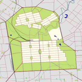
War Memorial Drive is a connecting road in the South Australian capital of Adelaide. It starts from Bundeys Road near Princes Highway, runs in a western direction following the River Torrens, past the Adelaide Zoo, Adelaide University, Adelaide Oval and past Bonython Park into North Adelaide.[1] Along the road, there are numerous statues of significant Australians and war heroes. The drive was dedicated and named after the heroes and victims of World War I.[2][3]
History
[edit]The first section of the road, between Frome Road and Sir Edwin Smith Avenue, was opened in 1919.[4] It was built by returned soldiers, with funding from Adelaide City Council, the Federal Government, and a donation from Lord Mayor Charles Glover. The second stage of the road, from King William Road to Montefiore Road was constructed in 1920.[5]
References
[edit]- ^ Adelaide and surrounds street directory 2021 (59th ed.). Ultimo, N.S.W. 2020. ISBN 978-0731932412.
{{cite book}}: CS1 maint: location missing publisher (link) - ^ "War Memorial Drive". Monument Australia. Retrieved 17 June 2021.
- ^ "Adelaide War Memorial Drive, SA". Places of Pride. 2 November 2020. Retrieved 17 June 2021.
- ^ "WAR MEMORIAL DRIVE. Official opening". The Express and Telegraph. South Australia: National Library of Australia. 30 October 1919. p. 1. Retrieved 18 June 2021.
- ^ Adelaide Parks Lands Preservation Association. "Angas Gardens". Adelaide City Explorer. Retrieved 18 June 2021.

