
Tagichinor
Tagichinor | |
|---|---|
 Landscape near Tagichinor | |
 Tagichinor Location in Tajikistan | |
| Coordinates: 39°11′54″N 69°07′03″E / 39.19833°N 69.11750°E | |
| Country | |
| Region | Sughd Region |
| District | Ayni District |
| Elevation | 2,600 m (8,500 ft) |
| Population (2017) | |
• Total | 32 |
| Official languages | |
Tagichinor (Russian: Раут or Russian: Тани Чанор; Tajik: Тагичинор, Yaghnobi Роԝут Rowut, Роԝт[citation needed] or Таги Чанор, Таги Чинор) is a village in Sughd Region, northwestern Tajikistan. It is part of the jamoat Anzob in the Ayni District.[2] Its population was 32 people as of 2017,[2][better source needed] up from 18 in 2007.[3]
The name means "under the sycamore tree".[2][better source needed]
Geography
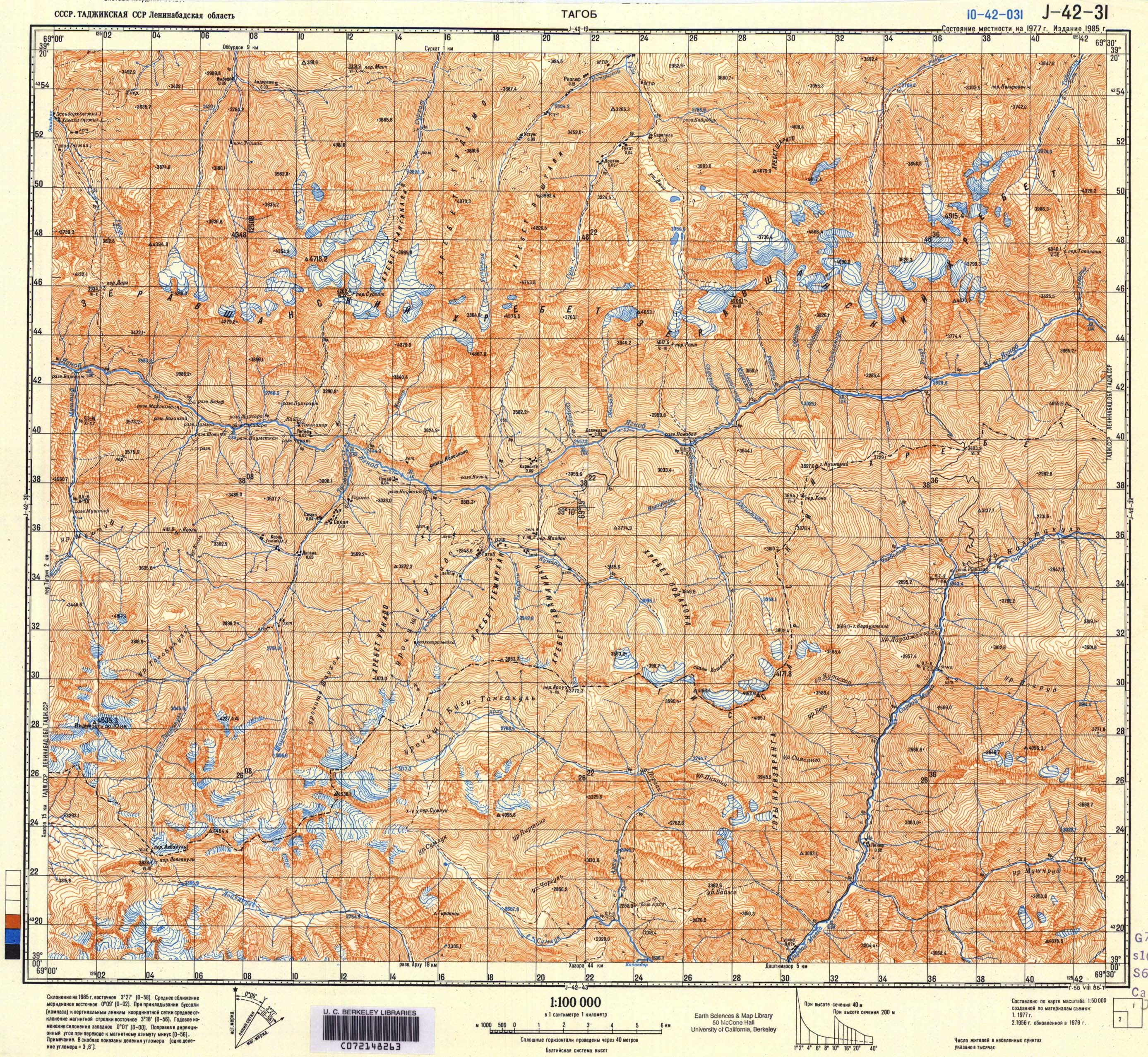
[edit]Tagichinor sits at an altitude of approximately 2,600 metres (8,500 ft) above sea level.[2][better source needed] It is situated above the right, northern bank of the River Yaghnob.[4] Tagichinor is located 85 kilometres (53 mi) from the center of the jamoat Anzob, and 123 kilometres (76 mi) from the center of the Ayni District.[2][better source needed]
Demographics
[edit]| Year | Pop. | ±% p.a. |
|---|---|---|
| 1870 | 27 | — |
| 1887 | 12 | −4.66% |
| 1904 | 13 | +0.47% |
| 1927 | 13 | +0.00% |
| 1941 | 17 | +1.93% |
| 1969 | 14 | −0.69% |
| 1995 | 6 | −3.21% |
| 2007 | 18 | +9.59% |
| 2017 | 32 | +5.92% |
| Source: [3][better source needed] | ||
Its population was 32 people as of 2017,[2][better source needed] up from 18 in 2007.[3]
References
[edit]- ^ "КОНСТИТУЦИЯ РЕСПУБЛИКИ ТАДЖИКИСТАН". prokuratura.tj. Parliament of Tajikistan. Retrieved 9 January 2020.
- ^ a b c d e f Деҳаи Таги чинор [Village of Tagi Chinor]. tojkiston.ucoz.ru (in Russian). Archived from the original on 2024-12-22. Retrieved 2025-03-16.
- ^ a b c "Brief Scientific Feasibility Study and Proposed Pre-Project Activities for Establishing the Yaghnob Natural Ethnography Park" (PDF) (in Russian). Тajik Social-Ecological Union (ТСОЭС). 2007. p. 42. Archived from the original (PDF) on 2018-12-22. Retrieved 2025-03-16.
- ^ Soviet military map J-42-31 (1:100,000)
This Tajikistan location article is a stub. You can help Wikipedia by expanding it. |