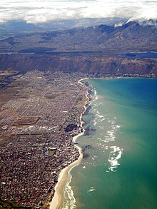
Steenbras Upper Dam
| Steenbras Upper Dam | |
|---|---|
 visible at upper left | |
| Location | Western Cape, South Africa |
| Coordinates | 34°10′5″S 18°54′5″E / 34.16806°S 18.90139°E |
| Opening date | 1977 |
| Owner(s) | City of Cape Town |
| Dam and spillways | |
| Type of dam | Earth-fill |
| Impounds | Steenbras River |
| Height | 34 m (112 ft) |
| Length | 940 m (3,080 ft) |
| Reservoir | |
| Creates | Steenbras Upper Reservoir |
| Total capacity | 31,767 Ml (1,121.8×106 cu ft) |
| Catchment area | 29.7 km2 (11.5 sq mi) |
| Surface area | 263 ha (650 acres) |
Steenbras Upper Dam is an earth-fill type dam located in the Hottentots Holland Mountains above Gordons Bay in the Western Cape, South Africa. It impounds the Steenbras River upstream of the older Steenbras Dam. The dam was constructed in 1977 for the City of Cape Town and serves mainly for municipal and industrial use. The hazard potential of the dam has been ranked high (3).[1]

Steenbras Upper Dam also functions as the upper reservoir of the city's Steenbras pumped-storage hydroelectric power scheme, with a lower reservoir at the foot of the mountain. It is also linked by an open canal and pipeline to the Rockview Dam, which acts as the upper reservoir of the Palmiet Pumped Storage Scheme, a separate pumped-storage scheme operated by Eskom and the Department of Water and Sanitation. The link allows water from the Palmiet River to be transferred to the dam.[2]
See also
[edit]References
[edit]- ^ "List of Registered Dams". Dam Safety Office, Department of Water and Sanitation. Retrieved 26 July 2021.
- ^ "Dams". www.capetown.gov.za. Archived from the original on 28 September 2015. Retrieved 28 September 2015.

