
Jaggan, Queensland
| Jaggan Queensland | |||||||||||||||
|---|---|---|---|---|---|---|---|---|---|---|---|---|---|---|---|
 Jaggan State School, 1947 | |||||||||||||||
 Jaggan | |||||||||||||||
| Coordinates | 17°23′39″S 145°35′57″E / 17.3941°S 145.5991°E | ||||||||||||||
| Population | 217 (2021 census)[1] | ||||||||||||||
| • Density | 6.739/km2 (17.45/sq mi) | ||||||||||||||
| Postcode(s) | 4885 | ||||||||||||||
| Area | 32.2 km2 (12.4 sq mi) | ||||||||||||||
| Time zone | AEST (UTC+10:00) | ||||||||||||||
| Location | |||||||||||||||
| LGA(s) | Tablelands Region | ||||||||||||||
| State electorate(s) | Hill | ||||||||||||||
| Federal division(s) | Kennedy | ||||||||||||||
| |||||||||||||||
Jaggan is a rural town and locality in the Tablelands Region, Queensland, Australia.[2][3] In the 2021 census, the locality of Jaggan had a population of 217 people.[1]
Geography
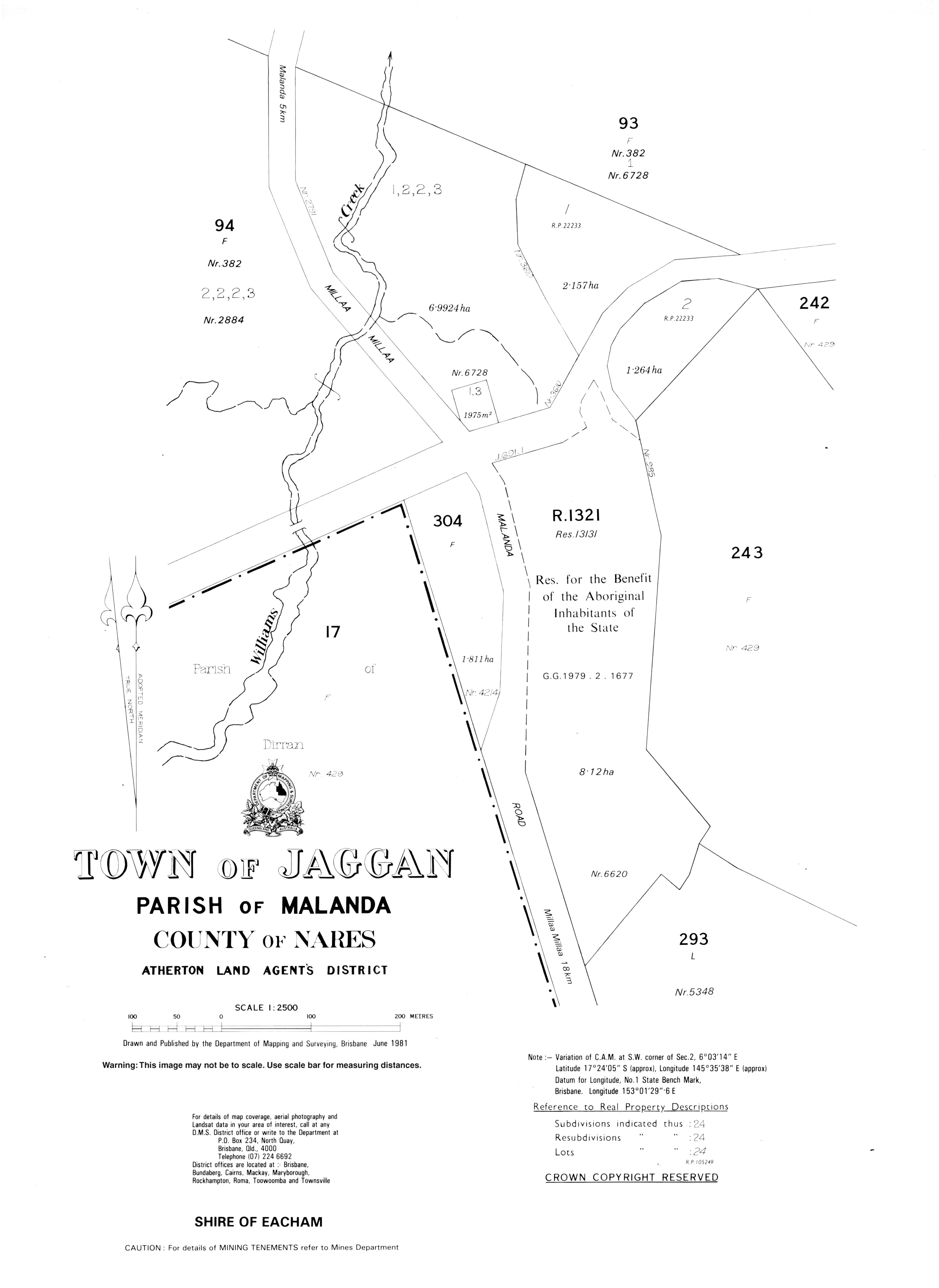
[edit]The town of Jaggan is located on the north-western boundary of the locality.[4]
The Millaa Millaa–Malanda Road enters the locality from the north (Malanda), passes immediately north and west of the town of Jaggan forming part of the north-western boundary of the locality, and exits to the south (Tarzali).[5]
Apart from the town, the land use is predominantly grazing on native vegetation with some crop growing in the north-east of the locality.[6]
History
[edit]The area was originally called Bunjara Burra. The town takes its present name from the Jaggan railway station, which in turn was named by the Queensland Railways Department on 31 August 1915. Jaggan is an Aboriginal word meaning thick scrub with lawyer vines.[2]
The town was surveyed in October 1916.[2]
In June 1917, about 3 acres (1.2 ha) were reserved for a school,[7] with Jaggan State School opening on 2 April 1918.[8][9] In May 1922, there were complaints that there were 31 students enrolled with facilities only for 25 students.[10] In August 1924, the Queensland Government committed to constructing a new school building at a cost of £640.[11] The old school building was removed in 1925.[12] Jagan State School closed in 1965.[9]
Demographics
[edit]In the 2016 census, the locality of Jaggan had a population of 188 people.[13]
In the 2021 census, the locality of Jaggan had a population of 217 people.[1]
Education
[edit]There are no schools in Jaggan. The nearest government primary and secondary schools are Malanda State School and Malanda State High School, both in neighbouring Malanda to the north.[14]
References
[edit]- ^ a b c Australian Bureau of Statistics (28 June 2022). "Jaggan (SAL)". 2021 Census QuickStats. Retrieved 28 February 2023.
- ^ a b c "Jaggan – town in Tablelands Region (entry 17018)". Queensland Place Names. Queensland Government. Retrieved 29 December 2020.
- ^ "Jaggan – locality in Tablelands Region (entry 48682)". Queensland Place Names. Queensland Government. Retrieved 29 December 2020.
- ^ "Layers: Locality; Mountains and ranges; Contours; Watercourses; Population centres". Queensland Globe. Queensland Government. Archived from the original on 19 December 2017. Retrieved 29 August 2024.
- ^ "Jaggan, Queensland" (Map). Google Maps. Retrieved 10 August 2023.
- ^ "Layers: Locality; Protected areas and forests; Land use". Queensland Globe. Queensland Government. Archived from the original on 19 December 2017. Retrieved 29 August 2024.
- ^ "PUBLIC RESERVES". The Telegraph. No. 13, 915. Queensland, Australia. 29 June 1917. p. 3 (SECOND EDITION). Archived from the original on 29 August 2024. Retrieved 29 August 2024 – via National Library of Australia.
- ^ "OFFICIAL NOTIFICATIONS". The Brisbane Courier. No. 18, 758. Queensland, Australia. 1 March 1918. p. 8. Archived from the original on 29 August 2024. Retrieved 29 August 2024 – via National Library of Australia.
- ^ a b "Opening and closing dates of Queensland Schools". Queensland Government. Retrieved 10 January 2016.
- ^ "EACHAM SHIRE". The Cairns Post. Vol. XXXV, no. [?]4. Queensland, Australia. 15 May 1922. p. 3. Archived from the original on 29 August 2024. Retrieved 29 August 2024 – via National Library of Australia.
- ^ "NEW STATE SCHOOLS". The Brisbane Courier. 23 August 1924. p. 16. Archived from the original on 10 March 2021. Retrieved 11 January 2016 – via National Library of Australia.
- ^ "Advertised Events". The Cairns Post. Vol. XXXV, no. 5227. Queensland, Australia. 26 June 1925. p. 4. Retrieved 29 August 2024 – via National Library of Australia.
- ^ Australian Bureau of Statistics (27 June 2017). "Jaggan (SSC)". 2016 Census QuickStats. Retrieved 20 October 2018.
- ^ "Layers: Locality; Schools and school catchments". Queensland Globe. Queensland Government. Archived from the original on 19 December 2017. Retrieved 29 August 2024.