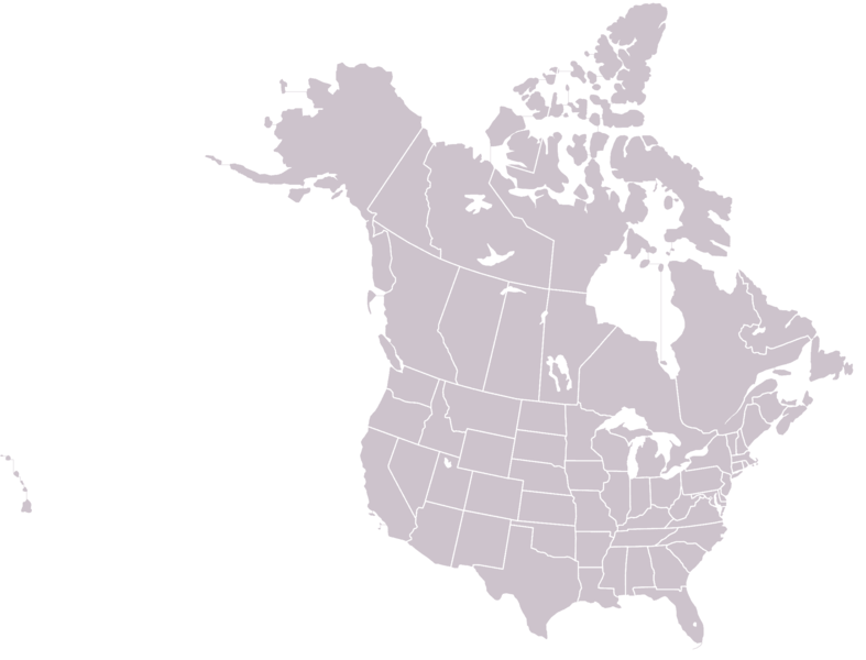
File:BlankMap-USA-states-Canada-provinces.png
Appearance

Size of this preview: 787 × 600 pixels. Other resolutions: 315 × 240 pixels | 630 × 480 pixels | 1,008 × 768 pixels | 1,280 × 975 pixels | 2,289 × 1,744 pixels.
Original file (2,289 × 1,744 pixels, file size: 29 KB, MIME type: image/png)
File history
Click on a date/time to view the file as it appeared at that time.
| Date/Time | Thumbnail | Dimensions | User | Comment | |
|---|---|---|---|---|---|
| current | 15:43, 31 May 2015 |  | 2,289 × 1,744 (29 KB) | Cmdrjameson | Compressed with pngout. Reduced by 105kB (78% decrease). |
| 03:20, 15 August 2006 |  | 2,289 × 1,744 (134 KB) | Roke~commonswiki | eastern shore of virginia | |
| 13:57, 24 April 2006 |  | 2,289 × 1,744 (134 KB) | Roke~commonswiki | +DC | |
| 13:36, 24 April 2006 |  | 2,289 × 1,744 (134 KB) | Roke~commonswiki | thin lines, fixed boundaries, lighter color | |
| 11:03, 24 April 2006 |  | 2,289 × 1,744 (83 KB) | Roke~commonswiki | Blank map of US states Canada provinces - work in progress - will finish later |
File usage
No pages on the English Wikipedia use this file (pages on other projects are not listed).
Global file usage
The following other wikis use this file:
- Usage on es.wikipedia.org
- Usage on fr.wikipedia.org
