
File:Towns in Onondaga County, New York.svg

Size of this PNG preview of this SVG file: 555 × 599 pixels. Other resolutions: 222 × 240 pixels | 444 × 480 pixels | 711 × 768 pixels | 948 × 1,024 pixels | 1,896 × 2,048 pixels | 1,076 × 1,162 pixels.
Original file (SVG file, nominally 1,076 × 1,162 pixels, file size: 476 KB)
| This is a file from the Wikimedia Commons. Information from its description page there is shown below. Commons is a freely licensed media file repository. You can help. |
Summary
| Description |
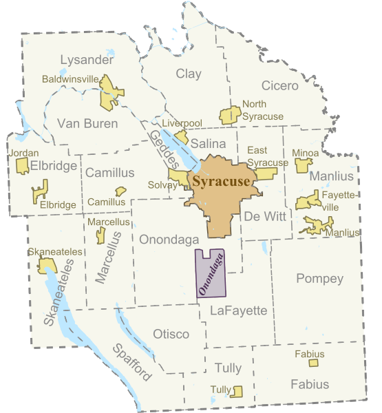
English: Based on Sub-County Map from "http://libremap.org/data/boundary/". Adapted the original file by isolating the map to only towns in Onondaga County, and adding town name labels. Redistributed with the Creative Commons Attribution-ShareAlike 2.0 license (Details at "https://creativecommons.org/licenses/by-sa/2.0/") |
| Date | 18 June 2008 (original upload date) |
| Source | Transferred from en.wikipedia to Commons by IngerAlHaosului using CommonsHelper. |
| Author | The original uploader was Smb6009 at English Wikipedia. |
Licensing
This file is licensed under the Creative Commons Attribution-Share Alike 2.0 Generic license.
- You are free:
- to share – to copy, distribute and transmit the work
- to remix – to adapt the work
- Under the following conditions:
- attribution – You must give appropriate credit, provide a link to the license, and indicate if changes were made. You may do so in any reasonable manner, but not in any way that suggests the licensor endorses you or your use.
- share alike – If you remix, transform, or build upon the material, you must distribute your contributions under the same or compatible license as the original.
Original upload log
The original description page was here. All following user names refer to en.wikipedia.
- 2008-06-18 17:25 Smb6009 200×200× (102630 bytes) {{Information |Description=Based on Sub-County Map from http://libremap.org/data/boundary/. Adapted the original file by isolating the map to only towns in Onondaga County, NY, and adding town name labels. Redistributed with the Creative Commons Attributi
- 2008-06-18 01:25 Smb6009 200×200× (102630 bytes) Based on Sub-County Map from "http://libremap.org/data/boundary/". Adapted the original file by isolating the map to only towns in Onondaga County, and adding town name labels. Redistributed with the Creative Commons Attribution-ShareAlike 2.0 license (De
File history
Click on a date/time to view the file as it appeared at that time.
| Date/Time | Thumbnail | Dimensions | User | Comment | |
|---|---|---|---|---|---|
| current | 02:29, 6 June 2012 | | 1,076 × 1,162 (476 KB) | Smb6009 | new version with text converted to paths |
| 02:25, 6 June 2012 |  | 1,076 × 1,162 (211 KB) | Smb6009 | Uploaded new version with Villages included. The data for this map is derived from US Government produced Tiger Line data | |
| 23:29, 15 May 2011 |  | 512 × 583 (97 KB) | Smb6009 | Fixed some broken text issues | |
| 12:35, 20 March 2010 |  | 512 × 583 (100 KB) | File Upload Bot (Magnus Manske) | {{BotMoveToCommons|en.wikipedia|year={{subst:CURRENTYEAR}}|month={{subst:CURRENTMONTHNAME}}|day={{subst:CURRENTDAY}}}} {{Information |Description={{en|Based on Sub-County Map from "http://libremap.org/data/boundary/". Adapted the original file by isolati |
File usage
The following 3 pages use this file:
Global file usage
The following other wikis use this file:
- Usage on fr.wikipedia.org
- Usage on nl.wikipedia.org
- Usage on pl.wikipedia.org