
File:Rijnland amstelland atlasmaior.jpg

Size of this preview: 714 × 599 pixels. Other resolutions: 286 × 240 pixels | 572 × 480 pixels | 915 × 768 pixels | 1,220 × 1,024 pixels | 2,439 × 2,048 pixels | 3,679 × 3,089 pixels.
Original file (3,679 × 3,089 pixels, file size: 5.14 MB, MIME type: image/jpeg)
| This is a file from the Wikimedia Commons. Information from its description page there is shown below. Commons is a freely licensed media file repository. You can help. |
Summary
| Description |
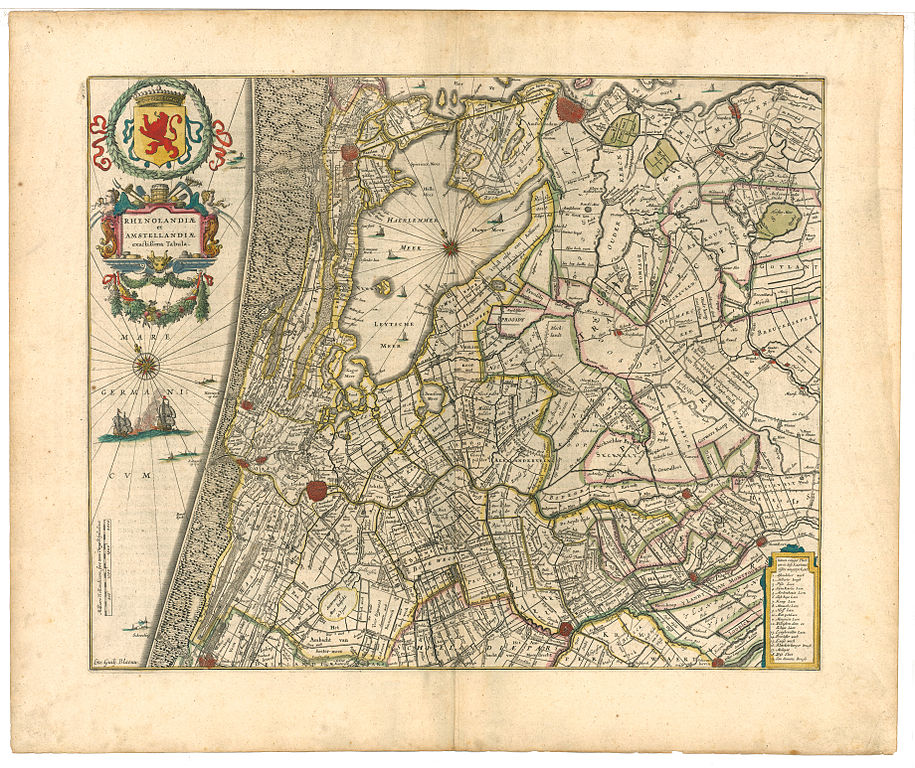
Nederlands: Rhenolandiæ et Amstellandiæ exactiqima Tabula (nauwkeurige kaart van Rijnland en Amstelland) |
| Date | before 1639 |
| Source | Atlas Maior, Joan Blaeu, 1665 |
| Author | Willem Blaeu |
Licensing
|
This work is in the public domain in its country of origin and other countries and areas where the copyright term is the author's life plus 70 years or fewer. | |
| This file has been identified as being free of known restrictions under copyright law, including all related and neighboring rights. | |
Original upload log
The original description page was here. All following user names refer to nl.wikipedia.
- 2008-04-19 22:20 Michiel1972 3679×3089×8 (5386275 bytes) hogere resolutie
- 2007-04-26 18:18 Ronald 1000×778×8 (322955 bytes) {{Information |Description=Rhenolandiæ et Amstellandiæ exactiqima Tabula (nauwkeurige kaart van Rijnland en Amstelland) |Source=Atlas Maior, Jaon Blaeu, 1665 |Date=vóór 1639 |Author=Willem Blaeu |Permission= |other_versions= }}
File history
Click on a date/time to view the file as it appeared at that time.
| Date/Time | Thumbnail | Dimensions | User | Comment | |
|---|---|---|---|---|---|
| current | 22:35, 19 April 2008 | | 3,679 × 3,089 (5.14 MB) | File Upload Bot (Magnus Manske) | {{BotMoveToCommons|nl.wikipedia}} {{Information |Description={{nl|Rhenolandiæ et Amstellandiæ exactiqima Tabula (nauwkeurige kaart van Rijnland en Amstelland)}} |Source=Transferred from [http://nl.wikipedia.org nl.wikipedia]<br/> (Original te |
File usage
No pages on the English Wikipedia use this file (pages on other projects are not listed).
Global file usage
The following other wikis use this file:
- Usage on fr.wikipedia.org
- Usage on is.wikipedia.org
- Usage on nl.wikipedia.org