
File:Relief Map Ulyanovsk Oblast.png

Size of this preview: 660 × 599 pixels. Other resolutions: 264 × 240 pixels | 529 × 480 pixels | 716 × 650 pixels.
Original file (716 × 650 pixels, file size: 523 KB, MIME type: image/png)
| This is a file from the Wikimedia Commons. Information from its description page there is shown below. Commons is a freely licensed media file repository. You can help. |
Summary
| Description |
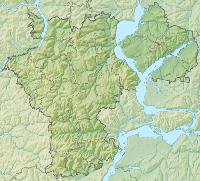
Русский: Физическая карта Ульяновской области.
|
| Date | |
| Source |
|
| Author | Nzeemin |
| Other versions |
|

Licensing
| Description |
This map was created from OpenStreetMap project data, collected by the community. This map may be incomplete, and may contain errors. Don't rely solely on it for navigation. |
| Date | (see file history) |
| Source | openstreetmap.org |
| Creator |
OpenStreetMap contributors |
| Permission (Reusing this file) |
OpenStreetMap data and maps are licensed under the Creative Commons Attribution-ShareAlike 2.0 license (CC-BY-SA 2.0). This file is licensed under the Creative Commons Attribution-Share Alike 2.0 Generic license.
|
| Georeferencing | If inappropriate please set warp_status = skip to hide. |
File history
Click on a date/time to view the file as it appeared at that time.
| Date/Time | Thumbnail | Dimensions | User | Comment | |
|---|---|---|---|---|---|
| current | 17:16, 13 March 2012 | | 716 × 650 (523 KB) | Nzeemin |
File usage
The following 2 pages use this file:
Global file usage
The following other wikis use this file:
- Usage on ar.wikipedia.org
- Usage on ba.wikipedia.org
- Usage on be.wikipedia.org
- Usage on bg.wikipedia.org
- Димитровград (Русия)
- Уляновск
- Новоуляновск
- Шаблон:ПК Русия Уляновска област
- Бариш
- Глотовка (Уляновска област)
- Вешкайма
- Базарни Сизган
- Енганаево
- Жадовка
- Игнатовка
- Измайлово (Уляновска област)
- Ишеевка (Уляновска област)
- Карсун
- Красний Гуляй
- Кузоватово
- Майна (Уляновска област)
- Мулловка (Уляновска област)
- Николаевка (Уляновска област)
- Нова Майна
- Павловка (Павловски район)
- Радищево (Уляновска област)
- Цемзавод
- Чердакли
- Силикатни
- Работническо селище В. И. Ленин
- Новоспаское
- Стара Кулатка
- Стара Майна
- Старотимошкино
- Сурско
- Теренга
- Цилна
- Чуфарово
- Язиково
- Бариш (река)
- Usage on ceb.wikipedia.org
- Usage on ce.wikipedia.org
- Usage on cs.wikipedia.org
View more global usage of this file.