
File:Queen Charlotte's Islands map 1776.jpg

Size of this preview: 800 × 520 pixels. Other resolutions: 320 × 208 pixels | 640 × 416 pixels | 1,024 × 665 pixels | 1,280 × 832 pixels | 2,560 × 1,663 pixels | 4,149 × 2,696 pixels.
Original file (4,149 × 2,696 pixels, file size: 11.27 MB, MIME type: image/jpeg)
| This is a file from the Wikimedia Commons. Information from its description page there is shown below. Commons is a freely licensed media file repository. You can help. |
Summary
| Description |
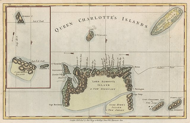
English: Map of Queen Charlotte's Islands (Santa Cruz Islands) in the Solomon Islands. From George William Anderson’s A New, Authentic and Complete Collection of Voyages Around the World, Undertaken and Performed by Royal Authority . . . (London, 1784). |
| Date | |
| Source | http://libweb5.princeton.edu/visual_materials/maps/websites/pacific/wallis-carteret/wallis-carteret.html |
| Author | Hogg, Alexander, fl. 1778–1819 |
Licensing
|
This work is in the public domain in its country of origin and other countries and areas where the copyright term is the author's life plus 70 years or fewer. This work is in the public domain in the United States because it was published (or registered with the U.S. Copyright Office) before January 1, 1930. | |
| This file has been identified as being free of known restrictions under copyright law, including all related and neighboring rights. | |
File history
Click on a date/time to view the file as it appeared at that time.
| Date/Time | Thumbnail | Dimensions | User | Comment | |
|---|---|---|---|---|---|
| current | 17:23, 14 March 2018 | | 4,149 × 2,696 (11.27 MB) | Goustien | User created page with UploadWizard |
File usage
The following 2 pages use this file:
Global file usage
The following other wikis use this file:
- Usage on gl.wikipedia.org
- Usage on he.wikipedia.org