
File:Overzicht van ondergelopen strand, met zicht op de vermoedelijke fundering van de kerktoren van het verdronken Middeleeuws dorp Nieuwlande--Archeoregio 15, AMK-terrein 49C-001 - Krabbendijke - 20425860 - RCE.jpg

Size of this preview: 800 × 600 pixels. Other resolutions: 320 × 240 pixels | 640 × 480 pixels | 1,024 × 768 pixels | 1,280 × 960 pixels | 2,560 × 1,920 pixels | 2,839 × 2,129 pixels.
Original file (2,839 × 2,129 pixels, file size: 2.2 MB, MIME type: image/jpeg)
| This is a file from the Wikimedia Commons. Information from its description page there is shown below. Commons is a freely licensed media file repository. You can help. |
Summary
| Description |
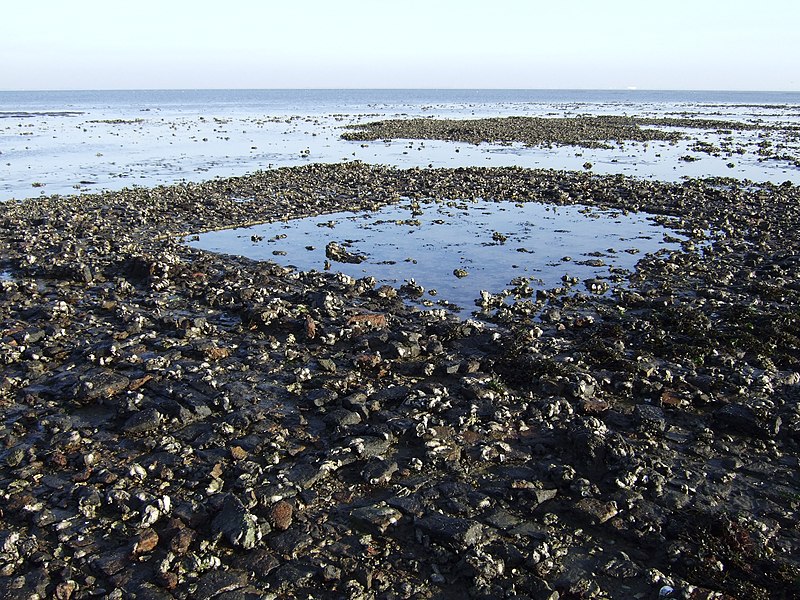
Nederlands: Archeologie/ Cultuurlandschap: Overzicht van ondergelopen strand, met zicht op de vermoedelijke fundering van de kerktoren van het verdronken Middeleeuws dorp Nieuwlande
Archeoregio 15, AMK-terrein 49C-001 (opmerking: Publicatie Uit Balans 2006)
| |||||||||||||
| Address |
|
|||||||||||||
| Date | ||||||||||||||
| Source | Rijksdienst voor het Cultureel Erfgoed | |||||||||||||
| Author |
|
|||||||||||||
Licensing
| This file was provided to Wikimedia Commons by the Rijksdienst voor het Cultureel Erfgoed as part of an image release. The Rijksdienst voor Cultureel Erfgoed, exclusively provides images that are either made by its own employees, or that are otherwise free of copyright. (rights) |
This file is licensed under the Creative Commons Attribution-Share Alike 4.0 International license.
Attribution: Rijksdienst voor het Cultureel Erfgoed
- You are free:
- to share – to copy, distribute and transmit the work
- to remix – to adapt the work
- Under the following conditions:
- attribution – You must give appropriate credit, provide a link to the license, and indicate if changes were made. You may do so in any reasonable manner, but not in any way that suggests the licensor endorses you or your use.
- share alike – If you remix, transform, or build upon the material, you must distribute your contributions under the same or compatible license as the original.
File history
Click on a date/time to view the file as it appeared at that time.
| Date/Time | Thumbnail | Dimensions | User | Comment | |
|---|---|---|---|---|---|
| current | 22:30, 24 July 2020 | | 2,839 × 2,129 (2.2 MB) | Vysotsky | higher res. from same source |
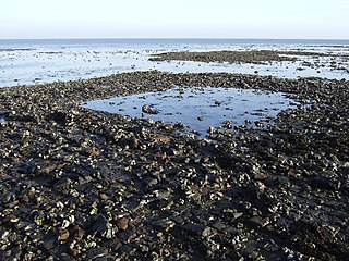
| 09:55, 24 January 2013 |  | 1,200 × 899 (296 KB) | BotMultichillT | {{subst:RCE data ingestion layout|subst=subst: |@attributes_created=2009-04-21T15:05:45 |@attributes_modification=2012-10-16T03:54:19 |@attributes_priref=20425860 |@attributes_selected=False |Content_subject_content.subject=Archeologie |Content_subject... |
File usage
The following pages on the English Wikipedia use this file (pages on other projects are not listed):
Global file usage
The following other wikis use this file:
- Usage on nl.wikipedia.org
- Usage on www.wikidata.org
- Usage on zea.wikipedia.org
- Usage on zh-min-nan.wikipedia.org