
File:Okres zamky.png
Size of this preview: 567 × 599 pixels. Other resolutions: 227 × 240 pixels | 454 × 480 pixels | 726 × 768 pixels | 969 × 1,024 pixels | 1,960 × 2,072 pixels.
Original file (1,960 × 2,072 pixels, file size: 216 KB, MIME type: image/png)
| This is a file from the Wikimedia Commons. Information from its description page there is shown below. Commons is a freely licensed media file repository. You can help. |
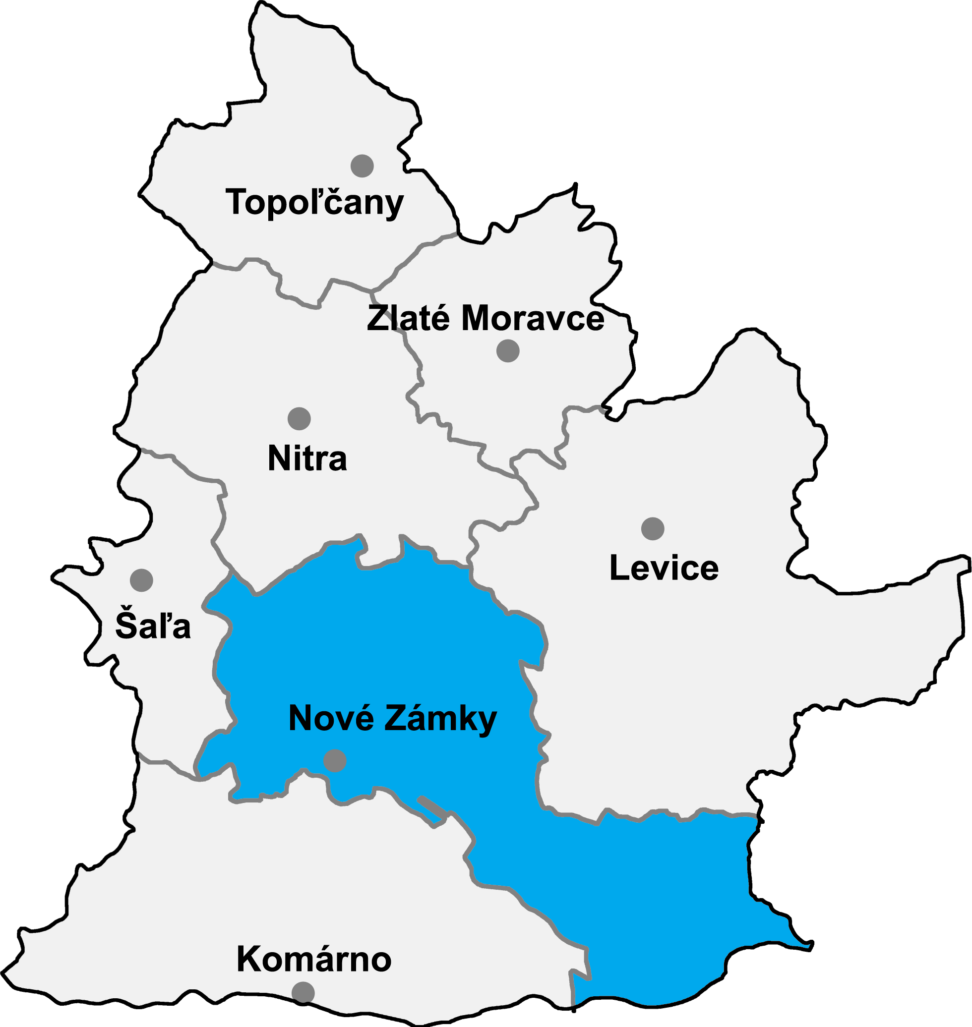
- map of the Nitra region (Nitriansky kraj) in Slovakia, district (okres) of Nové Zámky highlighted
- selfprovided on September 19th, 2004

|
Permission is granted to copy, distribute and/or modify this document under the terms of the GNU Free Documentation License, Version 1.2 or any later version published by the Free Software Foundation; with no Invariant Sections, no Front-Cover Texts, and no Back-Cover Texts. A copy of the license is included in the section entitled GNU Free Documentation License. |
| This file is licensed under the Creative Commons Attribution-Share Alike 3.0 Unported license. | ||
| ||
| This licensing tag was added to this file as part of the GFDL licensing update. |
File history
Click on a date/time to view the file as it appeared at that time.
| Date/Time | Thumbnail | Dimensions | User | Comment | |
|---|---|---|---|---|---|
| current | 17:13, 8 January 2007 | | 1,960 × 2,072 (216 KB) | Murli | {{Information |Description= |Source= |Date= |Author= |Permission=Own work, all rights released (Public domain) |other_versions= }} {{PD-self}} |
| 23:13, 7 January 2007 |  | 1,960 × 2,072 (209 KB) | Murli | better version | |
| 20:21, 16 May 2005 |  | 241 × 259 (12 KB) | Murli | *map of the Nitra region (Nitriansky kraj) in Slovakia, district (okres) of Nové Zámky highlighted *selfprovided on September 19th, 2004 {{GFDL}} |
File usage
No pages on the English Wikipedia use this file (pages on other projects are not listed).
Global file usage
The following other wikis use this file:
- Usage on ar.wikipedia.org
- Usage on be-tarask.wikipedia.org
- Usage on bg.wikipedia.org
- Usage on ca.wikipedia.org
- Usage on cs.wikipedia.org
- Usage on de.wikipedia.org
- Usage on eo.wikipedia.org
- Distrikto Nové Zámky
- Palárikovo
- Tvrdošovce
- Jasová
- Gbelce
- Bajtava
- Bánov (distrikto Nové Zámky)
- Bardoňovo
- Trávnica
- Bruty
- Podhájska
- Mužla
- Chľaba
- Leľa
- Salka
- Malá nad Hronom
- Kamenín
- Bíňa
- Branovo
- Černík
- Dedinka
- Hul
- Jatov
- Mojzesovo
- Nová Vieska
- Pavlová
- Pozba
- Semerovo
- Rastislavice
- Vlkas
- Radava
- Dolný Ohaj
- Kmeťovo
- Ľubá
- Maňa
- Michal nad Žitavou
- Úľany nad Žitavou
- Sikenička
- Šarkan
- Usage on es.wikipedia.org
View more global usage of this file.