
File:Ninnescah River near Murdock Kansas.JPG

Size of this preview: 800 × 600 pixels. Other resolutions: 320 × 240 pixels | 640 × 480 pixels | 1,024 × 768 pixels.
Original file (1,024 × 768 pixels, file size: 130 KB, MIME type: image/jpeg)
| This is a file from the Wikimedia Commons. Information from its description page there is shown below. Commons is a freely licensed media file repository. You can help. |
Summary
| Description |
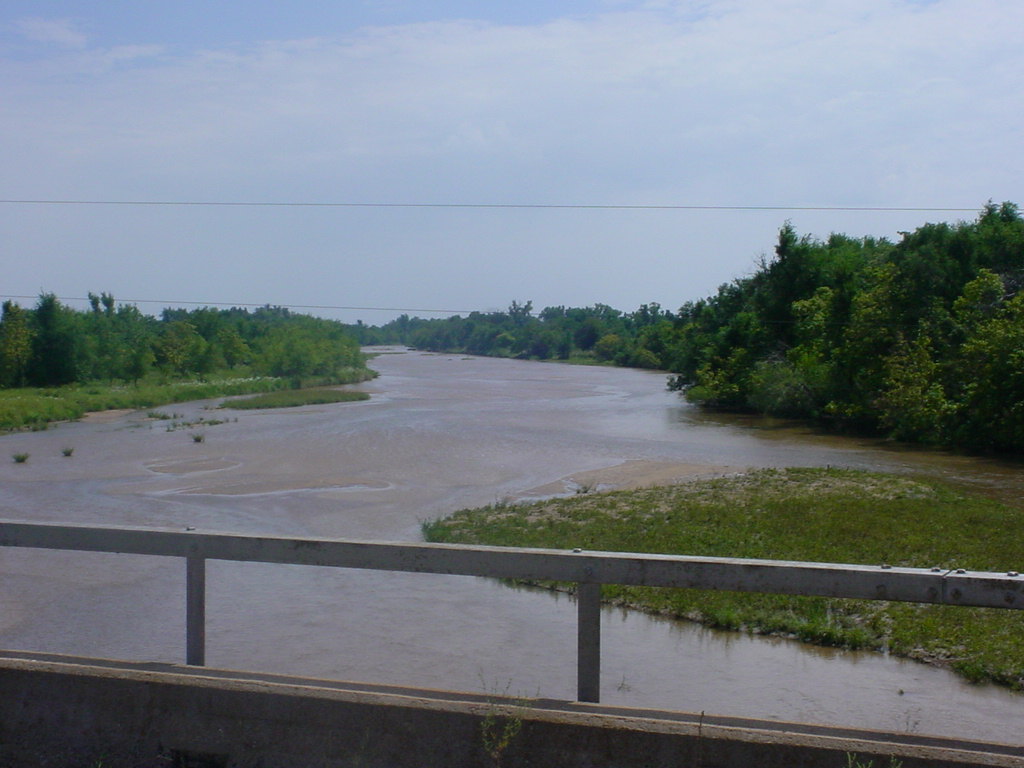
English: The w:Ninnescah River as viewed to the south from SE 60th Street, south of w:Murdock, Kansas. |
| Date | |
| Source | http://water.weather.gov/ahps2/hydrograph.php?wfo=ict&gage=mdkk1 (file is http://water.weather.gov/ahps2/images/hydrograph_photos/mdkk1/mdkk1_uslksouth_0806.JPG ) (gauge) |
| Author | United States National Weather Service |
| Camera location | | View this and other nearby images on: OpenStreetMap |
|---|
Licensing
| This file is in the public domain in the United States because it was solely created by the National Weather Service (including its name from 1870–1970, the United States Weather Bureau).
As a file created by an employee of the NWS (formerly USWB) in the course of their official duties, whether hosted
this work is in the public domain in the United States because it is a work prepared by an officer or employee of the United States Government as part of that person’s official duties under the terms of Title 17, Chapter 1, Section 105 of the US Code. |
||
 |
Warnings:
|
File history
Click on a date/time to view the file as it appeared at that time.
| Date/Time | Thumbnail | Dimensions | User | Comment | |
|---|---|---|---|---|---|
| current | 23:23, 9 May 2013 | | 1,024 × 768 (130 KB) | TimK MSI | {{Information |Description ={{en|1=The w:Ninnescah River as viewed to the south from SE 60th Street, south of w:Murdock, Kansas.}} |Source =http://water.weather.gov/ahps2/hydrograph.php?wfo=ict&gage=mdkk1 (file is http://water.weathe... |
File usage
The following pages on the English Wikipedia use this file (pages on other projects are not listed):
Global file usage
The following other wikis use this file:
- Usage on ceb.wikipedia.org
- Usage on fr.wikipedia.org
- Usage on www.wikidata.org