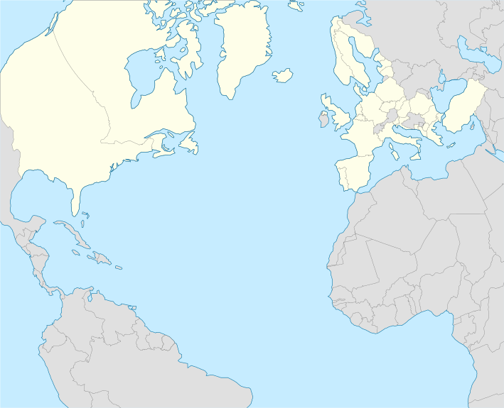
File:NATO laea location map.svg
Appearance

Size of this PNG preview of this SVG file: 709 × 575 pixels. Other resolutions: 296 × 240 pixels | 592 × 480 pixels | 947 × 768 pixels | 1,263 × 1,024 pixels | 2,525 × 2,048 pixels.
Original file (SVG file, nominally 709 × 575 pixels, file size: 412 KB)
File history
Click on a date/time to view the file as it appeared at that time.
| Date/Time | Thumbnail | Dimensions | User | Comment | |
|---|---|---|---|---|---|
| current | 01:47, 14 March 2024 |  | 709 × 575 (412 KB) | Janitoalevic | Removed French Guyana |
| 15:53, 7 March 2024 |  | 709 × 575 (410 KB) | Janitoalevic | Sweden added | |
| 16:54, 4 April 2023 |  | 709 × 575 (384 KB) | Physeters | small fix | |
| 16:51, 4 April 2023 |  | 709 × 575 (385 KB) | Physeters | add Finland | |
| 11:50, 18 November 2020 |  | 709 × 575 (411 KB) | Ratherous | North Macedonia | |
| 17:44, 29 July 2018 |  | 709 × 575 (429 KB) | Ssolbergj | FG | |
| 00:54, 23 July 2018 |  | 709 × 575 (429 KB) | Ssolbergj | User created page with UploadWizard |
File usage
The following 2 pages use this file:
Global file usage
The following other wikis use this file:
- Usage on ab.wikipedia.org
- Usage on eu.wikipedia.org
- Usage on fr.wikipedia.org
- Usage on ko.wikipedia.org
- Usage on pa.wikipedia.org
- Usage on si.wikipedia.org
- Usage on tum.wikipedia.org
- Usage on uk.wikipedia.org
- Usage on uz.wikipedia.org
