
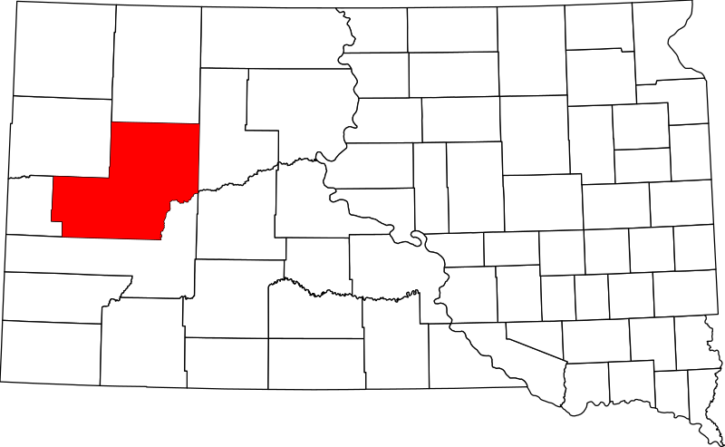
File:Map of South Dakota highlighting Meade County.svg

Size of this PNG preview of this SVG file: 800 × 492 pixels. Other resolutions: 320 × 197 pixels | 640 × 394 pixels | 1,024 × 630 pixels | 1,280 × 788 pixels | 2,560 × 1,576 pixels | 1,779 × 1,095 pixels.
Original file (SVG file, nominally 1,779 × 1,095 pixels, file size: 39 KB)
| This is a file from the Wikimedia Commons. Information from its description page there is shown below. Commons is a freely licensed media file repository. You can help. |
Summary
- David Benbennick made this map.
- For more information, see Commons:United States county locator maps.
| I, the copyright holder of this work, release this work into the public domain. This applies worldwide. In some countries this may not be legally possible; if so: I grant anyone the right to use this work for any purpose, without any conditions, unless such conditions are required by law. |
File history
Click on a date/time to view the file as it appeared at that time.
| Date/Time | Thumbnail | Dimensions | User | Comment | |
|---|---|---|---|---|---|
| current | 15:52, 25 June 2024 | | 1,779 × 1,095 (39 KB) | Nux | uniform colors with good contrast |
| 18:55, 19 June 2024 |  | 1,779 × 1,095 (39 KB) | Nux | fix rendering (remove clipping) | |
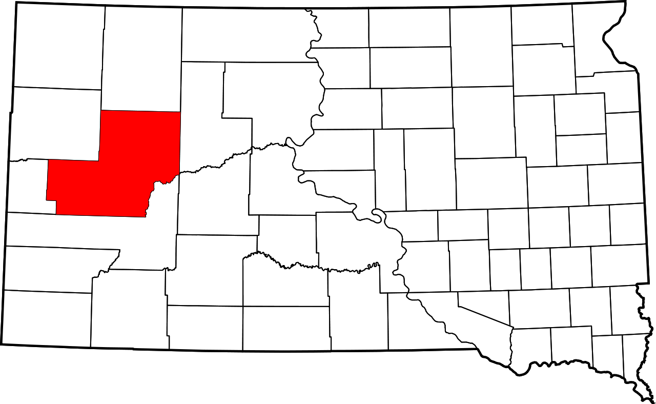
| 16:29, 12 February 2006 |  | 6,226 × 3,832 (47 KB) | David Benbennick | {{subst:User:Dbenbenn/clm|county=Meade County|state=South Dakota|type=county}} |
File usage
The following pages on the English Wikipedia use this file (pages on other projects are not listed):
- Avance, South Dakota
- Bend, South Dakota
- Big Bottom, South Dakota
- Blackhawk, South Dakota
- Blucksberg Mountain, South Dakota
- Boneita Springs, South Dakota
- Box Elder, South Dakota
- Cedar Canyon, South Dakota
- Cheyenne River Indian Reservation
- Clough, South Dakota
- Dalzell, South Dakota
- Edson, South Dakota
- Ellsworth Air Force Base
- Elm Springs, South Dakota
- Enning, South Dakota
- Fairpoint, South Dakota
- Faith, South Dakota
- Fox Ridge, South Dakota
- Haydraw, South Dakota
- Hereford, South Dakota
- Howes, South Dakota
- List of counties in South Dakota
- Marcus, South Dakota
- Maurine, South Dakota
- Meade County, South Dakota
- Mud Butte, South Dakota
- National Register of Historic Places listings in Meade County, South Dakota
- Northern Cheyenne Indian Reservation
- Opal, South Dakota
- Piedmont, South Dakota
- Plainview, South Dakota
- Redowl, South Dakota
- Stoneville, South Dakota
- Sturgis, South Dakota
- Sulphur, South Dakota
- Summerset, South Dakota
- Tilford, South Dakota
- Union Center, South Dakota
- Viewfield, South Dakota
- White Owl, South Dakota
- Wonderland Homes, South Dakota
- User:Dcmacnut/Tilford, South Dakota
- User:Nyttend/County templates/SD
- Wikipedia:WikiProject South Dakota/Black Hills
- Template:Meade County, South Dakota
- Category:Populated places in Meade County, South Dakota
Global file usage
The following other wikis use this file:
- Usage on ar.wikipedia.org
- Usage on bg.wikipedia.org
- Usage on bpy.wikipedia.org
- Usage on ca.wikipedia.org
- Usage on cdo.wikipedia.org
- Usage on ceb.wikipedia.org
- Usage on ce.wikipedia.org
- Usage on cs.wikipedia.org
- Usage on cy.wikipedia.org
- Usage on de.wikipedia.org
- Usage on es.wikipedia.org
- Usage on eu.wikipedia.org
- Usage on fa.wikipedia.org
- Usage on frr.wikipedia.org
- Usage on fr.wikipedia.org
- Usage on ga.wikipedia.org
- Usage on hu.wikipedia.org
- Usage on hy.wikipedia.org
- Usage on it.wikipedia.org
- Usage on ja.wikipedia.org
- Usage on ko.wikipedia.org
View more global usage of this file.