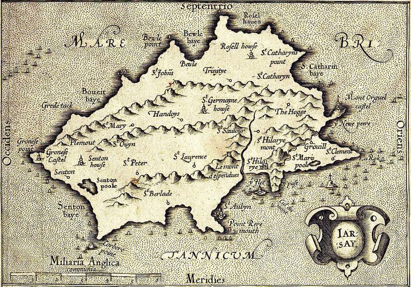
File:Map of Jersey by G Mercator 1639..JPG
Appearance

Size of this preview: 800 × 559 pixels. Other resolutions: 320 × 224 pixels | 640 × 447 pixels | 841 × 588 pixels.
Original file (841 × 588 pixels, file size: 289 KB, MIME type: image/jpeg)
File history
Click on a date/time to view the file as it appeared at that time.
| Date/Time | Thumbnail | Dimensions | User | Comment | |
|---|---|---|---|---|---|
| current | 22:22, 26 November 2006 |  | 841 × 588 (289 KB) | Electionworld | {{ew|en|Gillian Tipson}} A map of Jersey by G Mercator (1639). {{PD-old}} Category:Maps of Jersey |
File usage
The following page uses this file:
Global file usage
The following other wikis use this file:
- Usage on da.wikipedia.org
- Usage on fr.wikipedia.org
- Usage on it.wikipedia.org
- Usage on nl.wikipedia.org
- Usage on no.wikipedia.org
- Usage on ru.wikipedia.org

