
File:Location of Jimsar within Xinjiang (China).png
Size of this preview: 789 × 600 pixels. Other resolutions: 316 × 240 pixels | 631 × 480 pixels | 960 × 730 pixels.
Original file (960 × 730 pixels, file size: 163 KB, MIME type: image/png)
| This is a file from the Wikimedia Commons. Information from its description page there is shown below. Commons is a freely licensed media file repository. You can help. |
.png)
Summary
| Description |
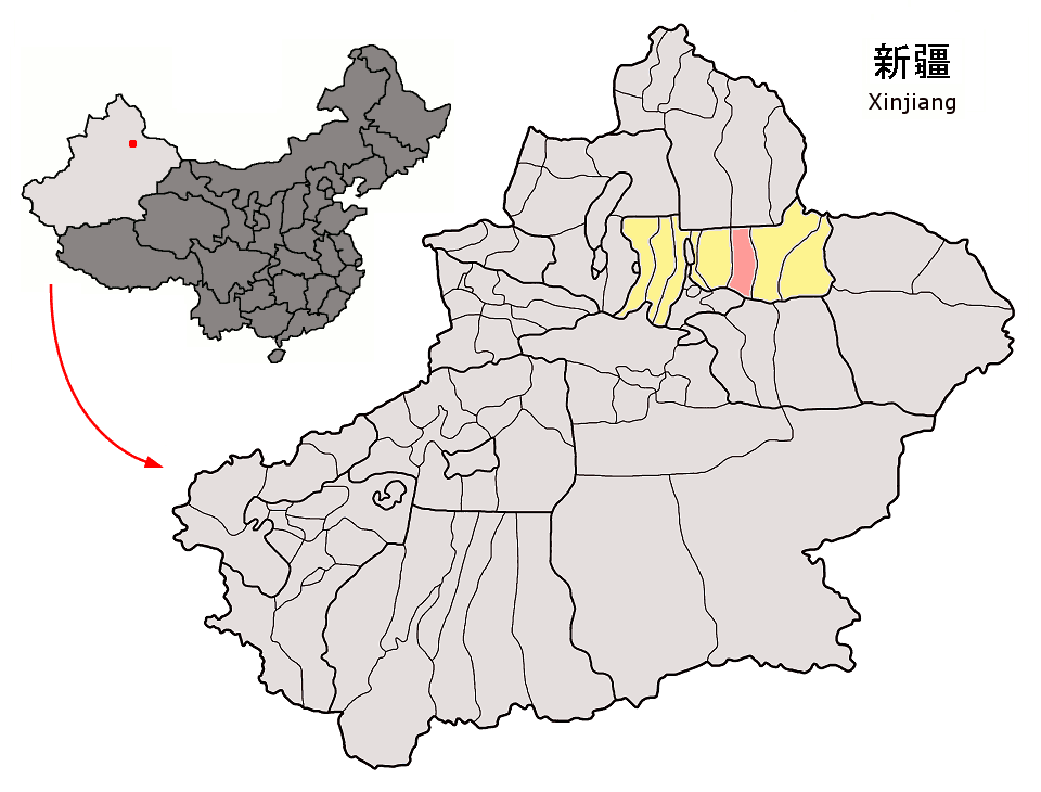
Location of Jimsar County (pink) and Changji Prefecture (yellow) within Xinjiang autonomous region of China Map drawn in september 2007 using various sources, mainly : |
| Date | |
| Source | Own work |
| Author | Croquant |
Licensing
I, the copyright holder of this work, hereby publish it under the following license:
This file is licensed under the Creative Commons Attribution 3.0 Unported license.
- You are free:
- to share – to copy, distribute and transmit the work
- to remix – to adapt the work
- Under the following conditions:
- attribution – You must give appropriate credit, provide a link to the license, and indicate if changes were made. You may do so in any reasonable manner, but not in any way that suggests the licensor endorses you or your use.
File history
Click on a date/time to view the file as it appeared at that time.
| Date/Time | Thumbnail | Dimensions | User | Comment | |
|---|---|---|---|---|---|
| current | 13:50, 8 September 2007 | | 960 × 730 (163 KB) | Croquant | == Summary == {{Information |Description=Location of Jimsar County (pink) and Changji Prefecture (yellow) within Xinjiang autonomous region of China Map drawn in september 2007 using various sources, mainly : * [http://sedac.ciesin.org/china/admin/bnd90/ |
File usage
The following page uses this file:
Global file usage
The following other wikis use this file:
- Usage on de.wikipedia.org
- Usage on es.wikipedia.org
- Usage on fa.wikipedia.org
- Usage on fr.wikipedia.org
- Usage on it.wikipedia.org
- Usage on ja.wikipedia.org
- Usage on ko.wikipedia.org
- Usage on no.wikipedia.org
- Usage on ru.wikipedia.org
- Usage on sv.wikipedia.org
- Usage on tr.wikipedia.org
- Usage on ug.wikipedia.org
- Usage on uk.wikipedia.org
- Usage on ur.wikipedia.org
- Usage on www.wikidata.org
.png)