
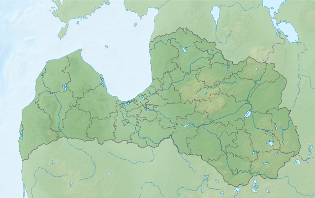
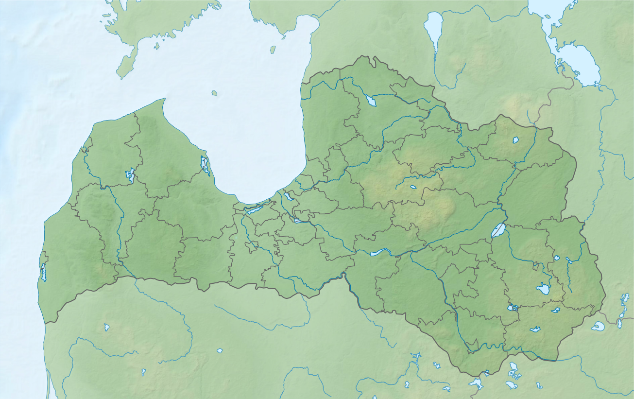
File:Latvia relief location map.svg

Size of this PNG preview of this SVG file: 800 × 503 pixels. Other resolutions: 320 × 201 pixels | 640 × 403 pixels | 1,024 × 644 pixels | 1,280 × 805 pixels | 2,560 × 1,611 pixels | 1,305 × 821 pixels.
Original file (SVG file, nominally 1,305 × 821 pixels, file size: 613 KB)
| This is a file from the Wikimedia Commons. Information from its description page there is shown below. Commons is a freely licensed media file repository. You can help. |
File history
Click on a date/time to view the file as it appeared at that time.
| Date/Time | Thumbnail | Dimensions | User | Comment | |
|---|---|---|---|---|---|
| current | 13:59, 18 August 2021 | | 1,305 × 821 (613 KB) | Obivan Kenobi | +Lake Liepāja |
| 08:39, 16 August 2021 |  | 1,305 × 821 (612 KB) | Obivan Kenobi | New boundaries of administrative divisions from 1 July 2021. Inland waters as on the {{F|Latvia adm location map.svg}} | |
| 13:59, 2 June 2011 |  | 1,305 × 821 (600 KB) | Chumwa | Ausland abgedimmt | |
| 13:44, 2 June 2011 |  | 1,305 × 821 (582 KB) | Chumwa | == {{int:filedesc}} == {{Information |Description= {{de|Positionskarte von Lettland, quadratische Plattkarte, Streckung in Nord-Süd-Richtung: 170 %}} {{en|Location map of Latvia, equirectangular projection, N/S stretching: |
File usage
The following pages on the English Wikipedia use this file (pages on other projects are not listed):
Global file usage
The following other wikis use this file:
- Usage on als.wikipedia.org
- Usage on be.wikipedia.org
- Заходняя Дзвіна
- Гаўя (рака)
- Ліелупэ
- Рыжскі заліў
- Шаблон:На карце/Латвія
- Рычы (возера)
- Юглскае возера
- Разна
- Лубанс
- Сівэрс
- Дрыдзіс
- Ліепайскае возера
- Абава
- Міса
- Кішэзэрс
- Чорнае (возера, Верхнядзвінскі раён)
- Нацыянальны парк Гаўя
- Прэйлюпэ
- Дубна (прыток Заходняй Дзвіны)
- Салаца
- Гайзінькалнс
- Огрэ (рака)
- Іецава (рака)
- Энгурэс
- Алаўкстс
- Буртніекс
- Усмас
- Бабітэс
- Рушанс
- Айвіекстэ
- Usage on ca.wikipedia.org
- Usage on de.wikipedia.org
- Usage on es.wikipedia.org
- Usage on fr.wikipedia.org
View more global usage of this file.