
File:Kaiser Wilhelms-Land Ost Neu Guinea 1884-1885 map.jpg
No higher resolution available.
Kaiser_Wilhelms-Land_Ost_Neu_Guinea_1884-1885_map.jpg (516 × 384 pixels, file size: 273 KB, MIME type: image/jpeg)
| This is a file from the Wikimedia Commons. Information from its description page there is shown below. Commons is a freely licensed media file repository. You can help. |
Summary
| Description |
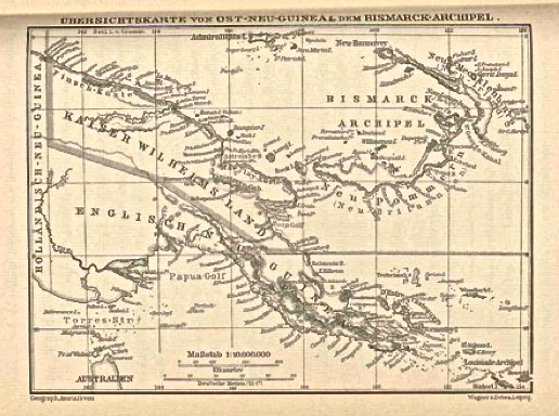
English: Map of Kaiser Wilhelms-Land and Ost Neu Guinea, from a 1884 - 1885 book by Otto Finsch, accessed via the World Digital Library } |
| Date | |
| Source |
Finsch, Otto (1888) Samoafahrten. Reisen im Kaiser Wilhelms-Land und Englisch-Neu-Guinea in den Jahren 1884 u. 1885 an Bord des Deutschen Dampfers "Samoa", Ferdinand Hirt & Sohn, Leipzig, p. 8 Retrieved on 26 May 2013. Accessed via the World Digital Library |
| Author | Otto Finsch, (8 August 1839 - 31 January 1917) |
Licensing
|
This work is in the public domain in its country of origin and other countries and areas where the copyright term is the author's life plus 70 years or fewer. | |
| This file has been identified as being free of known restrictions under copyright law, including all related and neighboring rights. | |
File history
Click on a date/time to view the file as it appeared at that time.
| Date/Time | Thumbnail | Dimensions | User | Comment | |
|---|---|---|---|---|---|
| current | 02:01, 27 May 2013 | | 516 × 384 (273 KB) | Djembayz | User created page with UploadWizard |
File usage
The following pages on the English Wikipedia use this file (pages on other projects are not listed):