
File:Grafschaft Ravensberg.jpg

Size of this preview: 479 × 599 pixels. Other resolutions: 192 × 240 pixels | 383 × 480 pixels | 614 × 768 pixels | 818 × 1,024 pixels | 2,200 × 2,753 pixels.
Original file (2,200 × 2,753 pixels, file size: 4.81 MB, MIME type: image/jpeg)
| This is a file from the Wikimedia Commons. Information from its description page there is shown below. Commons is a freely licensed media file repository. You can help. |
Summary
| Description |
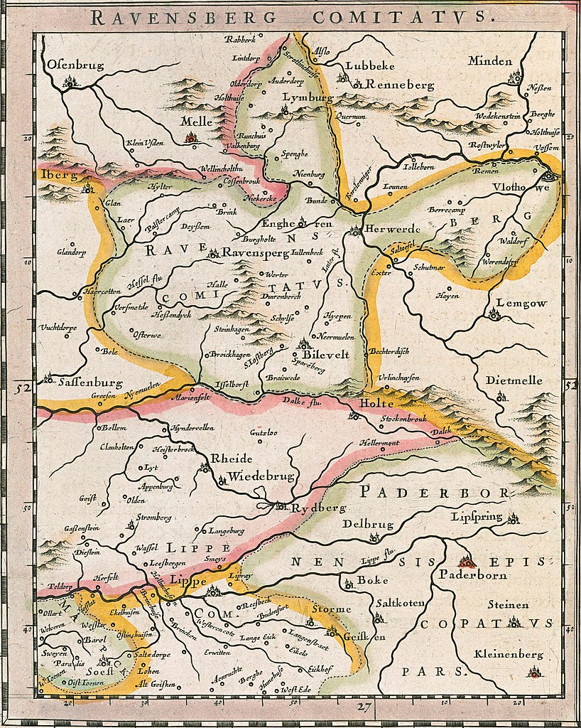
Deutsch: Historische Karte der Grafschaft Ravensberg in Comitatus Marchia et Ravensberg aus dem Atlas Theatrum orbis terrarum, sive, Atlas novus in quo Tabulae et Descriptiones omnium Regionum |
| Date | |
| Source | https://purl.stanford.edu/jp656ch7273 |
| Author | Willem Janszoon Blaeu and Joan Blaeu |
Licensing
|
This work is in the public domain in its country of origin and other countries and areas where the copyright term is the author's life plus 70 years or fewer. | |
| This file has been identified as being free of known restrictions under copyright law, including all related and neighboring rights. | |
File history
Click on a date/time to view the file as it appeared at that time.
| Date/Time | Thumbnail | Dimensions | User | Comment | |
|---|---|---|---|---|---|
| current | 15:40, 2 July 2019 | | 2,200 × 2,753 (4.81 MB) | Petit8 | {{Information |description ={{de|1=Historische Karte der Grafschaft Ravensberg in ''Comitatus Marchia et Ravensberg'' aus dem Atlas ''Theatrum orbis terrarum, sive, Atlas novus in quo Tabulae et Descriptiones omnium Regionum'' }} |date =1645 |source =https://purl.stanford.edu/jp656ch7273 |author =Willem Janszoon Blaeu and Joan Blaeu }} Category:Old maps of the county of Ravensberg Category:Atlas Novus (Blaeu) |
File usage
The following pages on the English Wikipedia use this file (pages on other projects are not listed):
Global file usage
The following other wikis use this file:
- Usage on de.wikipedia.org
- Usage on fr.wikipedia.org
- Usage on nds.wikipedia.org
- Usage on nl.wikipedia.org