
File:GoloByrdo-Debyrsko Karta.jpg
Size of this preview: 800 × 553 pixels. Other resolutions: 320 × 221 pixels | 640 × 443 pixels | 1,024 × 708 pixels | 1,280 × 885 pixels | 1,528 × 1,057 pixels.
Original file (1,528 × 1,057 pixels, file size: 775 KB, MIME type: image/jpeg)
| This is a file from the Wikimedia Commons. Information from its description page there is shown below. Commons is a freely licensed media file repository. You can help. |
Summary
| Description |
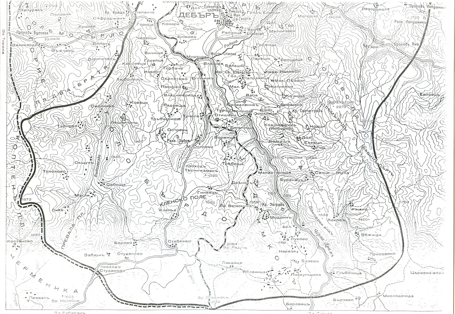
Български: Карта на района на Голо бърдо в днешна Албания и част от Дебърско, днешна Република Македония. Първа половина на ХХ век. |
| Date | circa 1920 |
| Source | |
| Author |
Licensing
|
This work is in the public domain in its country of origin and other countries and areas where the copyright term is the author's life plus 70 years or fewer. | |
| This file has been identified as being free of known restrictions under copyright law, including all related and neighboring rights. | |
Original upload log
The original description page was here. All following user names refer to bg.wikipedia.
- 2008-04-10 17:50 Simin 1528×1057×8 (794025 bytes) Карта на района на Голо бърдо в днешна Албания и част от Дебърско, днешна Република Македония. Първа половина на ХХ век.
File history
Click on a date/time to view the file as it appeared at that time.
| Date/Time | Thumbnail | Dimensions | User | Comment | |
|---|---|---|---|---|---|
| current | 15:27, 3 May 2008 | | 1,528 × 1,057 (775 KB) | Chech Explorer | {{Information |Description={{bg|Карта на района на Голо бърдо в днешна Албания и част от Дебърско, днешна Република Македония. Първа половина на ХХ век.}} |So |
File usage
The following pages on the English Wikipedia use this file (pages on other projects are not listed):
Global file usage
The following other wikis use this file:
- Usage on el.wikipedia.org
- Usage on mk.wikipedia.org
- Usage on tr.wikipedia.org