
File:BlankMap-World-1710.png

Size of this preview: 800 × 370 pixels. Other resolutions: 320 × 148 pixels | 640 × 296 pixels | 1,357 × 628 pixels.
Original file (1,357 × 628 pixels, file size: 43 KB, MIME type: image/png)
| This is a file from the Wikimedia Commons. Information from its description page there is shown below. Commons is a freely licensed media file repository. You can help. |

|
This locator map image could be re-created using vector graphics as an SVG file. This has several advantages; see Commons:Media for cleanup for more information. If an SVG form of this image is available, please upload it and afterwards replace this template with
{{vector version available|new image name}}.
It is recommended to name the SVG file “BlankMap-World-1710.svg”—then the template Vector version available (or Vva) does not need the new image name parameter. |
Summary
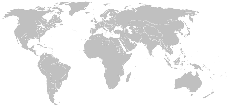
Blank map of the world from 1710, derived from Image:WaroftheSpanishSuccession.png.
| Blank maps of the world for historical use | |
| pre-1800 | |
|
19th century | |
|
20th century | |
|
1902 · 1912 · 1914 · WWI · Aug 1918 · 1920 · 1921 · 1924 · 1926 · 1935 · 1937 · Mar 1938 · Oct 1938 · Mar 1939 · Oct 1939 · WWII · Nov 1942 · May 1945 · 1957 · 1959 · 1962 · 1968 · 1970 · 1985 · 1990 · 1993 | |
|
21st century | |
| (this template: · view · discuss ) | |
.PNG)
Licensing
I, the copyright holder of this work, hereby publish it under the following licenses:

|
Permission is granted to copy, distribute and/or modify this document under the terms of the GNU Free Documentation License, Version 1.2 or any later version published by the Free Software Foundation; with no Invariant Sections, no Front-Cover Texts, and no Back-Cover Texts. A copy of the license is included in the section entitled GNU Free Documentation License. |
This file is licensed under the Creative Commons Attribution-Share Alike Attribution-Share Alike 4.0 International, 3.0 Unported, 2.5 Generic, 2.0 Generic and 1.0 Generic license.
- You are free:
- to share – to copy, distribute and transmit the work
- to remix – to adapt the work
- Under the following conditions:
- attribution – You must give appropriate credit, provide a link to the license, and indicate if changes were made. You may do so in any reasonable manner, but not in any way that suggests the licensor endorses you or your use.
- share alike – If you remix, transform, or build upon the material, you must distribute your contributions under the same or compatible license as the original.
You may select the license of your choice.
File history
Click on a date/time to view the file as it appeared at that time.
| Date/Time | Thumbnail | Dimensions | User | Comment | |
|---|---|---|---|---|---|
| current | 18:47, 13 April 2013 | | 1,357 × 628 (43 KB) | Fry1989 | vandalism |
| 16:02, 13 April 2013 |  | 1,357 × 628 (43 KB) | Mouh2jijel | Reverted to version as of 08:31, 13 April 2013 | |
| 14:41, 13 April 2013 |  | 1,357 × 628 (43 KB) | Omar-toons | Reverted to version as of 01:35, 13 July 2012 rv: fixing borders according to File:Algeria, Morocco and Tunis (XIX century).jpg and File:Guillaume Delisle North West Africa 1707.jpg | |
| 08:31, 13 April 2013 |  | 1,357 × 628 (43 KB) | Mouh2jijel | Reverted to version as of 07:38, 9 April 2013 | |
| 06:22, 13 April 2013 |  | 1,357 × 628 (43 KB) | Omar-toons | Reverted to version as of 01:35, 13 July 2012 rv unjustified revert | |
| 07:38, 9 April 2013 |  | 1,357 × 628 (43 KB) | Mouh2jijel | Reverted to version as of 06:45, 12 December 2009 | |
| 01:35, 13 July 2012 |  | 1,357 × 628 (43 KB) | Omar-Toons | Touat/Gourara to Morocco | |
| 06:45, 12 December 2009 |  | 1,357 × 628 (43 KB) | KarnRedsun | Clear the colour. | |
| 12:57, 9 December 2009 |  | 1,357 × 628 (43 KB) | KarnRedsun | Blank map of the world from 1710, derived from Image:WaroftheSpanishSuccession.png. {{Historical blank world maps}} |
.jpg)
File usage
No pages on the English Wikipedia use this file (pages on other projects are not listed).
Global file usage
The following other wikis use this file:
- Usage on fr.wikipedia.org