
File:Barjehudaafmecadan.jpg

Size of this preview: 800 × 533 pixels. Other resolutions: 320 × 213 pixels | 640 × 427 pixels | 960 × 640 pixels.
Original file (960 × 640 pixels, file size: 80 KB, MIME type: image/jpeg)
| This is a file from the Wikimedia Commons. Information from its description page there is shown below. Commons is a freely licensed media file repository. You can help. |
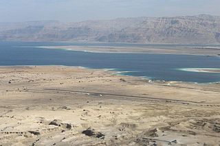
| Description | Bar Yehuda Airfield | |||
| Date | ||||
| Source | Own work | |||
| Author | Yan Kamintzky | |||
| Permission (Reusing this file) |
|
|||
| OpenStreetMap | Way 156572636 |

| Object location | | View this and other nearby images on: OpenStreetMap |
|---|
File history
Click on a date/time to view the file as it appeared at that time.
| Date/Time | Thumbnail | Dimensions | User | Comment | |
|---|---|---|---|---|---|
| current | 15:03, 13 January 2012 | | 960 × 640 (80 KB) | Ori~ | {{Information |Description=Bar Yehuda Airfield |Source={{own}} |Date=2012-01-10 |Author= Yam Kamnitzky |Permission={{attribution}} |other_versions= }} Category:Bar Yehuda Airfield |
| 15:01, 13 January 2012 |  | 960 × 640 (80 KB) | Ori~ | {{Information |Description=Bar Yehuda Airfield |Source={{own}} |Date=2012-01-10 |Author= Yam Kamnitzky |Permission={{attribution}} |other_versions= }} Category:Airports in Israel |
File usage
The following page uses this file:
Global file usage
The following other wikis use this file:
- Usage on ar.wikipedia.org
- Usage on arz.wikipedia.org
- Usage on ceb.wikipedia.org
- Usage on en.wikivoyage.org
- Usage on fa.wikipedia.org
- Usage on fr.wikipedia.org
- Usage on he.wikipedia.org
- Usage on hu.wikipedia.org
- Usage on hy.wikipedia.org
- Usage on id.wikipedia.org
- Usage on ms.wikipedia.org
- Usage on pl.wikipedia.org
- Usage on pt.wikipedia.org
- Usage on ru.wikipedia.org
- Usage on sv.wikipedia.org
- Usage on tg.wikipedia.org
- Usage on uk.wikipedia.org
- Usage on vi.wikipedia.org
- Usage on www.wikidata.org