
File:Baja California locator map (Rosarito Beach, Tecate, Tijuana municipalities highlighted).png
Size of this preview: 546 × 599 pixels. Other resolutions: 219 × 240 pixels | 437 × 480 pixels | 699 × 768 pixels | 933 × 1,024 pixels | 1,865 × 2,048 pixels | 3,607 × 3,960 pixels.
Original file (3,607 × 3,960 pixels, file size: 76 KB, MIME type: image/png)
| This is a file from the Wikimedia Commons. Information from its description page there is shown below. Commons is a freely licensed media file repository. You can help. |
.png)
Any autoconfirmed user can overwrite this file from the same source. Please ensure that overwrites comply with the guideline.
Summary
| Description |
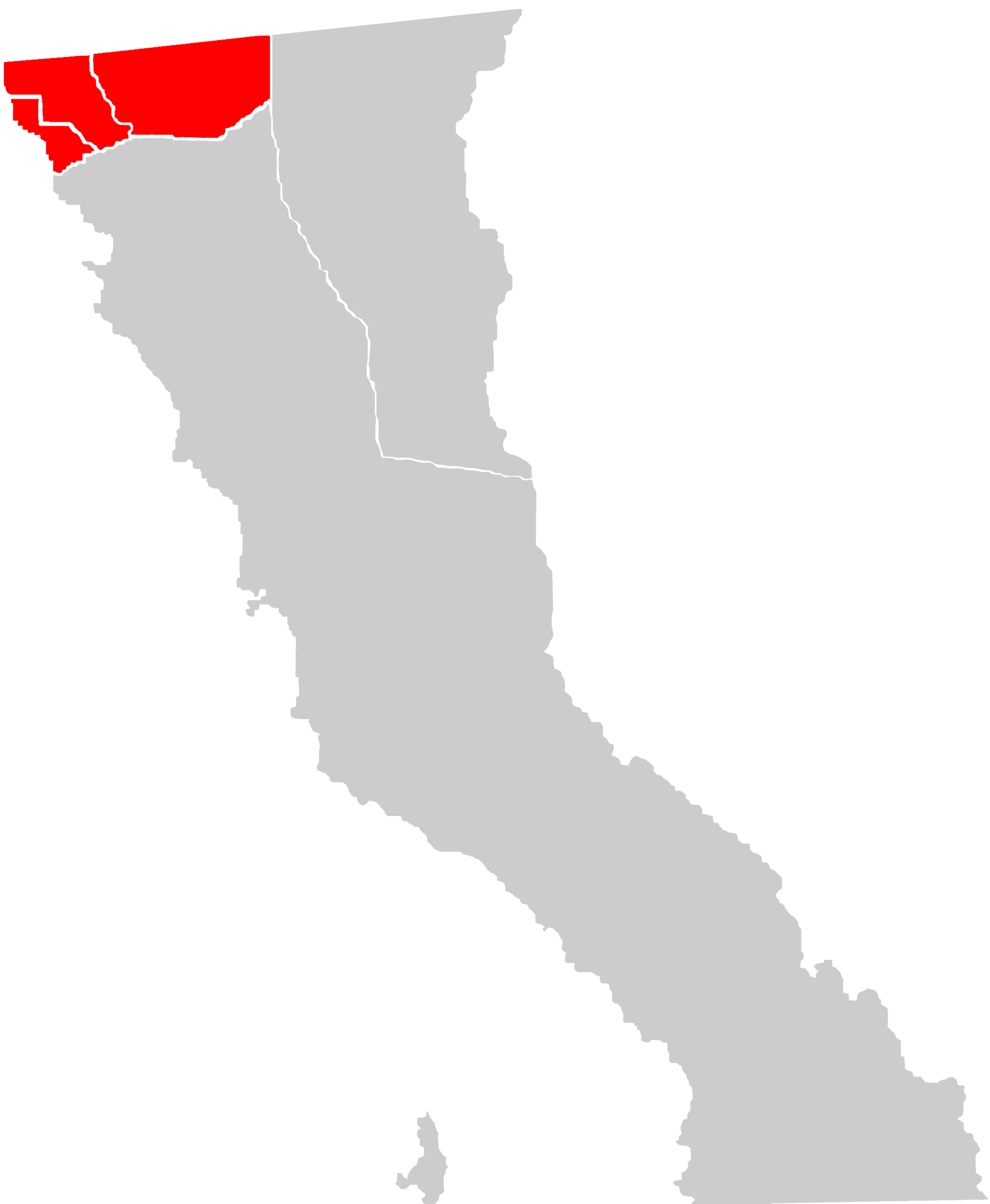
English: Rosarito Beach, Tecate, and Tijuana municipalities highlighted. |
| Date | |
| Source | Own work |
| Author | 08OceanBeach SD |
Licensing
I, the copyright holder of this work, hereby publish it under the following license:
This file is licensed under the Creative Commons Attribution-Share Alike 3.0 Unported license.
- You are free:
- to share – to copy, distribute and transmit the work
- to remix – to adapt the work
- Under the following conditions:
- attribution – You must give appropriate credit, provide a link to the license, and indicate if changes were made. You may do so in any reasonable manner, but not in any way that suggests the licensor endorses you or your use.
- share alike – If you remix, transform, or build upon the material, you must distribute your contributions under the same or compatible license as the original.
File history
Click on a date/time to view the file as it appeared at that time.
| Date/Time | Thumbnail | Dimensions | User | Comment | |
|---|---|---|---|---|---|
| current | 00:26, 25 July 2024 | | 3,607 × 3,960 (76 KB) | XIC123 | Updated limits, improved resolution and details. |
| 01:59, 4 August 2011 |  | 1,948 × 2,370 (169 KB) | 08OceanBeach SD | Thicker lines | |
| 01:11, 4 August 2011 |  | 1,948 × 2,370 (215 KB) | 08OceanBeach SD |
File usage
The following pages on the English Wikipedia use this file (pages on other projects are not listed):
Global file usage
The following other wikis use this file:
- Usage on de.wikipedia.org
.png)