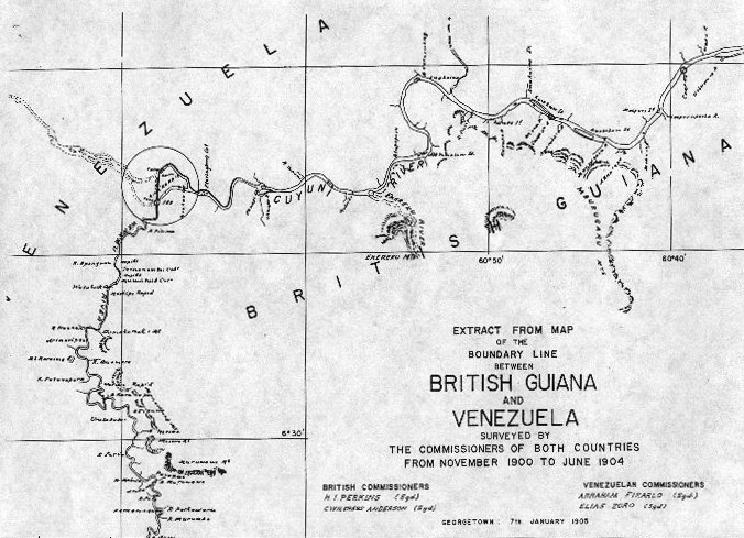
File:Ankoko-Island-1905.jpg
Appearance
Ankoko-Island-1905.jpg (676 × 489 pixels, file size: 121 KB, MIME type: image/jpeg)
File history
Click on a date/time to view the file as it appeared at that time.
| Date/Time | Thumbnail | Dimensions | User | Comment | |
|---|---|---|---|---|---|
| current | 11:14, 18 October 2008 |  | 676 × 489 (121 KB) | Ogre | cropped and slightly tilted |
| 16:17, 3 June 2007 |  | 697 × 502 (85 KB) | Bejnar | {{Information |Description=Map from the 1905 survey of the Venezuela-British Guiana boundary |Source= [http://www.guyana.org/features/appendix3.html Appendix 3 of Ishmael, Odeen (1998, rev. 2006) "The Trail Of Diplomacy: A Documentary History of the Guyan |
File usage
The following page uses this file:
Global file usage
The following other wikis use this file:
- Usage on de.wikipedia.org
- Usage on es.wikipedia.org
- Usage on fr.wikipedia.org
- Usage on he.wikipedia.org
- Usage on it.wikipedia.org
- Usage on ka.wikipedia.org
- Usage on pl.wikipedia.org
- Usage on pt.wikipedia.org
- Usage on sv.wikipedia.org
- Usage on uk.wikipedia.org

