
File:1868 Vaux ^ Olmstead Map of Central Park, New York City - Geographicus - CentralPark-CentralPark-1869 (Showing Playground).jpg
Size of this preview: 800 × 564 pixels. Other resolutions: 320 × 225 pixels | 640 × 451 pixels | 856 × 603 pixels.
Original file (856 × 603 pixels, file size: 340 KB, MIME type: image/jpeg)
Summary
[edit].jpg&action=edit§ion=1)
| Description |
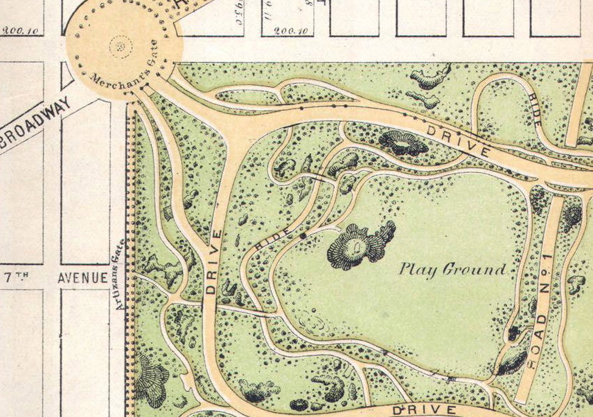
An 1868 Map of Central Park taken from Wikipedia Commons, cropped and rotated to illustrate the Boys Playground. |
|---|---|
| Source |
Wikipedia Commons. |
| Date |
1868 |
| Author |
Calvert Vaux and Frederick Law Olmsted |
| Permission (Reusing this file) |
See below.
|
Licensing
[edit].jpg&action=edit§ion=2)
| This image is in the public domain in the United States. In most cases, this means that it was first published prior to January 1, 1929 (see the template documentation for more cases). Other jurisdictions may have other rules, and this image might not be in the public domain outside the United States. See Wikipedia:Public domain and Wikipedia:Copyrights for more details. |
File history
Click on a date/time to view the file as it appeared at that time.
| Date/Time | Thumbnail | Dimensions | User | Comment | |
|---|---|---|---|---|---|
| current | 15:21, 20 March 2017 | | 856 × 603 (340 KB) | Buckyboot (talk | contribs) | An 1868 Map of Central Park taken from Wikipedia Commons, cropped and rotated to illustrate the Boys Playground. |
You cannot overwrite this file.
File usage
The following pages on the English Wikipedia use this file (pages on other projects are not listed):
.jpg&oldid=867344490)